





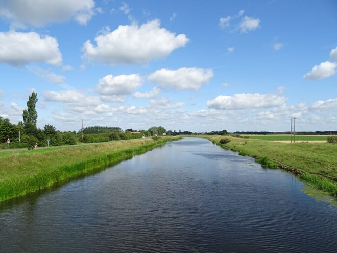
Grantham Rail Station
- River
- Peaks nearby
- 6
- highest 95m
- Walking routes
- 10
- within 10 miles
What's on the doorstep
Walking distances are estimates from the straight-line distance and the type of ground, not a measured route. Check a map before you set off.
About Grantham Rail Station
Grantham is a market town and civil parish in the South Kesteven district of Lincolnshire, England. It is situated on the banks of the River Witham and bounded to the west by the A1 road; it lies 23 miles (37 km) south of Lincoln and 22 miles (35 km) east of Nottingham. The population at the 2021 census was 44,898. The town is the largest settlement and the administrative centre of the South Kesteven District. The villages of Manthorpe, Great Gonerby, Barrowby, Londonthorpe and Harlaxton form outlying suburbs of the town.
Hills, trails and walks from the platform
Walking distances are estimates from the straight-line distance and the type of ground, not a measured route. Check a map before you set off.
| Casthorpe Hills | 117m | 2.6 mi (about 3.5 mi on foot) |
| Summerfield's Hill | 95m | 5.5 mi (about 7 to 8 mi on foot) |
| Viking Way | 152m | 7.6 mi (about 10 to 11 mi on foot) |
| Normanton Hill | 114m | 7.6 mi (about 10 to 11 mi on foot) |
| Buckminster Hill | 158m | 7.8 mi (about 10 to 11.5 mi on foot) |
No National Trails within 10 miles.
Route data © OpenStreetMap contributors, ODbL – coverage and route quality vary by area.
| Tamper and Walk Trail, Belton House ↗Local | 3.5 mi | 1.8 mi |
| Belton Park Walk, Belton House ↗Local | 3.3 mi | 1.8 mi |
| Belton Estate Riverside Walk, Belton House ↗Local | 1.4 mi | 2.1 mi |
| Belton's Moondial Walk, Belton House ↗Local | 0.5 mi | 2.7 mi |
| Formal Gardens Walk, Belton House ↗Local | 0.7 mi | 2.7 mi |