





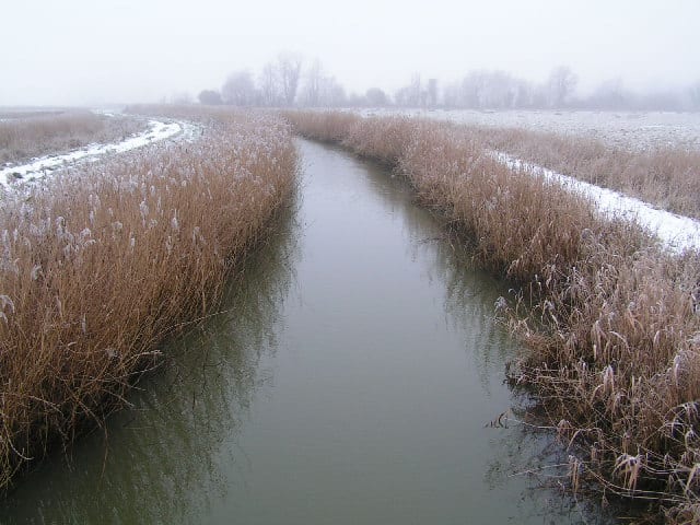
Halesworth Rail Station
- River
- Heritage Coast
- Peaks nearby
- 0
- within 10 miles
- Walking routes
- 20
- within 10 miles
What's on the doorstep
River BlythRiver · 0.8 mi (about 1 mi on foot) SuffolkHeritage Coast · 4.1 mi (about 5.5 to 6 mi on foot)
Walking distances are estimates from the straight-line distance and the type of ground, not a measured route. Check a map before you set off.
About Halesworth Rail Station
Halesworth is a market town, civil parish and electoral ward in north-eastern Suffolk, England. The population stood at 4,726 in the 2011 Census. It lies 15 miles (24 km) south-west of Lowestoft, on a tributary of the River Blyth, nine miles upstream from Southwold. The town is served by Halesworth railway station on the Ipswich–Lowestoft East Suffolk Line. It is twinned with Bouchain in France and Eitorf in Germany. Nearby villages include Cratfield, Wissett, Chediston, Walpole, Blyford, Linstead Parva, Wenhaston, Thorington, Spexhall, Bramfield, Huntingfield, Cookley and Holton.
Hills, trails and walks from the platform
Loading nearby stations…
No peaks within 10 miles matching these filters.
No National Trails within 10 miles.
Route data © OpenStreetMap contributors, ODbL – coverage and route quality vary by area.
| Sandlings Walk ↗Regional | 56.3 mi | 5.1 mi |
| St Helena Trail ↗Local | 3.7 mi | 5.2 mi |
| Reebed Ramble ↗ | 1.6 mi | 5.6 mi |
| Marsh Meander ↗ | 3.2 mi | 5.7 mi |
| Suffolk Coast Path ↗Regional | 61.3 mi | 6.0 mi |