





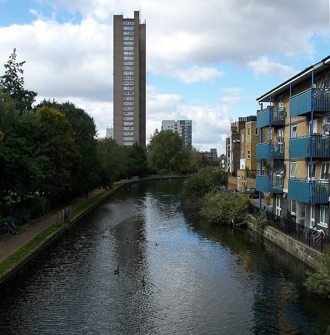
Hemel Hempstead Rail Station
- Canal
- Peaks nearby
- 10
- highest 268m
- Walking routes
- 21
- within 10 miles
What's on the doorstep
Walking distances are estimates from the straight-line distance and the type of ground, not a measured route. Check a map before you set off.
About Hemel Hempstead Rail Station
Hemel Hempstead is a town in the Dacorum district of Hertfordshire, England. It is located 24 miles (39 km) north-west of London; nearby towns and cities include Watford, St Albans and Berkhamsted. The population at the 2021 census was 95,961.
Source: Wikipedia, CC BY-SA.
Hills, trails and walks from the platform
Walking distances are estimates from the straight-line distance and the type of ground, not a measured route. Check a map before you set off.
| Aldbury Nowers | 222m | 7.4 mi (about 9.5 to 10.5 mi on foot) |
| Clipper Down | 249m | 7.5 mi (about 9.5 to 11 mi on foot) |
| Pavis Wood | 244m | 8.2 mi (about 10.5 to 12 mi on foot) |
| Batchworth Heath | 118m | 8.5 mi (about 11 to 12.5 mi on foot) |
| Dunstable Downs | 243m | 8.7 mi (about 11 to 12.5 mi on foot) |
| The Ridgeway ↗ | 86.3 mi | 6.8 mi |
Route data © OpenStreetMap contributors, ODbL – coverage and route quality vary by area.
| Blue Walk ↗Local | 2.6 mi | 0.1 mi |
| The Chiltern Way ↗Regional | 138.8 mi | 0.1 mi |
| Grand Union Canal Walk ↗Regional | 83.4 mi | 0.1 mi |
| Red Walk ↗Local | 3.8 mi | 0.1 mi |
| Green Walk ↗Local | 2.5 mi | 0.7 mi |