





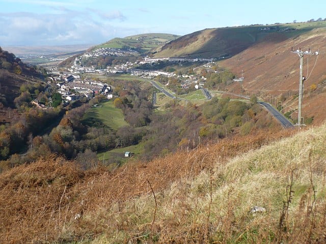
Hengoed Rail Station
- River
- Peaks nearby
- 30
- highest 477m
- Walking routes
- 8
- within 10 miles
What's on the doorstep
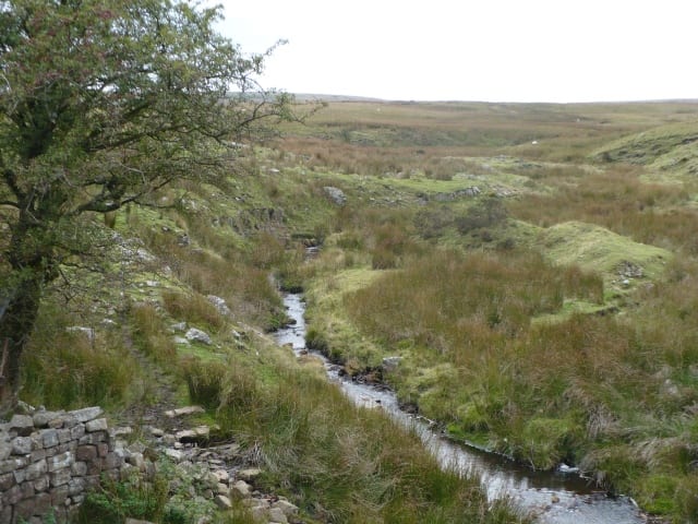
Walking distances are estimates from the straight-line distance and the type of ground, not a measured route. Check a map before you set off.
About Hengoed Rail Station
Hengoed is a village on the west side of the Rhymney Valley - between Ystrad Mynach to the south and Cefn Hengoed to the north. Across the valley it looks towards Maesycwmmer. The village is in the county borough of Caerphilly, in the traditional county of Glamorgan, Wales.
Source: Wikipedia, CC BY-SA.
Hills, trails and walks from the platform
Walking distances are estimates from the straight-line distance and the type of ground, not a measured route. Check a map before you set off.
| Mynydd Eglwysilan | 355m | 2.4 mi (about 3 to 3.5 mi on foot) |
| Mynydd Dimlaith | 223m | 2.7 mi (about 3.5 to 4 mi on foot) |
| Parc Coetir Bargoed | 216m | 2.7 mi (about 3.5 to 4 mi on foot) |
| Mynydd y GrugM | 374m | 3.1 mi (about 4 to 4.5 mi on foot) |
| Mynydd y LanM | 381m | 3.8 mi (about 5 to 5.5 mi on foot) |
No National Trails within 10 miles.
Route data © OpenStreetMap contributors, ODbL – coverage and route quality vary by area.
| Rhymney Valley Ridgeway Walk ↗Regional | 28.0 mi | 0.0 mi |
| Taff Trail ↗Regional | 63.0 mi | 3.7 mi |
| Pontypridd Circular ↗Local | 9.6 mi | 4.3 mi |
| Cambrian Way ↗National | 300.1 mi | 4.7 mi |
| Forge Walk ↗Local | 2.9 mi | 4.8 mi |