





Handforth Rail Station
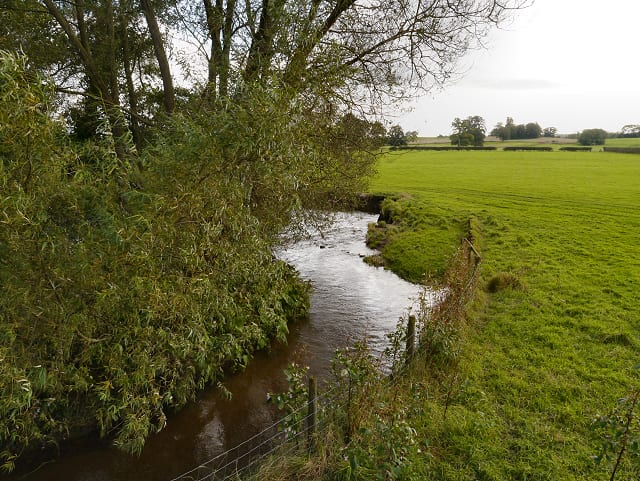
- River
- Peaks nearby
- 21
- highest 99m
- Walking routes
- 21
- within 10 miles
What's on the doorstep
Walking distances are estimates from the straight-line distance and the type of ground, not a measured route. Check a map before you set off.
About Handforth Rail Station
Handforth is a town and civil parish in Cheshire, England, 9 miles (14 km) south of Manchester city centre. The population of the parish was 6,715 at the 2021 census. In the 1960s and 1970s, two overspill housing estates, Spath Lane in Handforth, and Colshaw Farm nearby in Wilmslow, were built to re-house people from inner city Manchester. It lies between Wilmslow, Heald Green, and Styal, and forms part of the Greater Manchester Built-up Area.
Hills, trails and walks from the platform
Walking distances are estimates from the straight-line distance and the type of ground, not a measured route. Check a map before you set off.
| Alderley Edge | 194m | 3.6 mi (about 4.5 to 5.5 mi on foot) |
| Styperson Park | 213m | 5.2 mi (about 6.5 to 7.5 mi on foot) |
| Nab Head | 285m | 5.8 mi (about 7.5 to 8.5 mi on foot) |
| St Mary's (Bowdon) | 67m | 6.6 mi (about 8.5 to 9.5 mi on foot) |
| Turncliff Wood | 99m | 6.6 mi (about 8.5 to 9.5 mi on foot) |
| Pennine Bridleway ↗ | 206.0 mi | 9.9 mi |
Route data © OpenStreetMap contributors, ODbL – coverage and route quality vary by area.
| Bollin Valley Way ↗Regional | 23.1 mi | 1.3 mi |
| North Cheshire Way ↗Regional | 72.7 mi | 1.3 mi |
| Fred Perry Way ↗ | 14.4 mi | 1.4 mi |
| GM Ringway Stage 3 ↗Regional | 7.5 mi | 2.1 mi |
| GM Ringway Stage 4 ↗Regional | 8.2 mi | 2.2 mi |