





Ilkeston Rail Station
- River
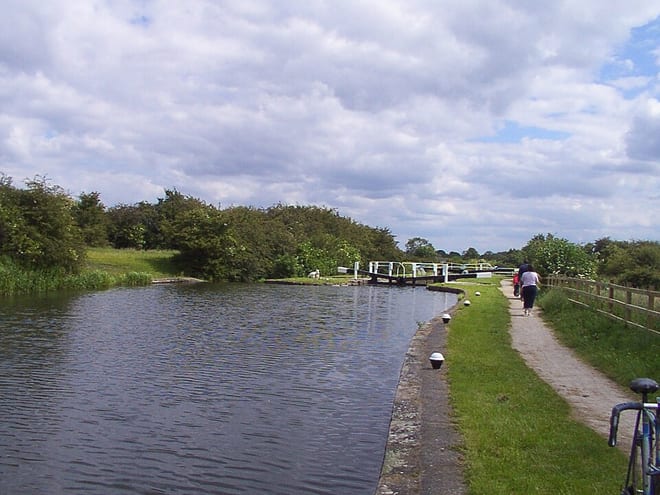
- Canal
- Disused railway
- Peaks nearby
- 21
- highest 98m
- Walking routes
- 20
- within 10 miles
What's on the doorstep
Walking distances are estimates from the straight-line distance and the type of ground, not a measured route. Check a map before you set off.
About Ilkeston Rail Station
Ilkeston is a town located in the Borough of Erewash in Derbyshire, England, with a population of 40,953 at the 2021 census. Its major industries, coal mining, iron working and lace making/textiles, have now all but disappeared. Part of the Nottingham Urban Area, the town is located between the cities Derby and Nottingham, near the M1 motorway, and on the River Erewash. Its eastern boundary borders Nottinghamshire to the east and is only two miles from Nottingham's western edge.
Hills, trails and walks from the platform
Walking distances are estimates from the straight-line distance and the type of ground, not a measured route. Check a map before you set off.
| Windmill Hill | 140m | 2.0 mi (about 2.5 to 3 mi on foot) |
| Windmill Hill (boundary) [Nottingham M1] | 132m | 2.1 mi (about 2.5 to 3 mi on foot) |
| Stapleford Hill | 101m | 2.9 mi (about 3.5 to 4 mi on foot) |
| Bramcote Hill | 107m | 3.2 mi (about 4 to 4.5 mi on foot) |
| No Man's Lane | 133m | 3.5 mi (about 4.5 to 5 mi on foot) |
No National Trails within 10 miles.
Route data © OpenStreetMap contributors, ODbL – coverage and route quality vary by area.
| Erewash Valley Trail ↗Local | 29.1 mi | 0.2 mi |
| Circular Walk 17 ↗ | 1.2 mi | 0.3 mi |
| Erewash Circular Walk 11 ↗Local | 0.6 mi | 1.3 mi |
| Erewash Circular Walk 6 ↗Local | 1.1 mi | 1.6 mi |
| Robin Hood Way ↗Regional | 112.0 mi | 1.6 mi |