





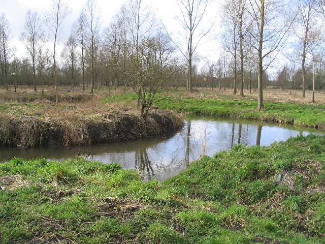
Kelvedon Rail Station
- River
- Peaks nearby
- 4
- highest 89m
- Walking routes
- 20
- within 10 miles
What's on the doorstep
Walking distances are estimates from the straight-line distance and the type of ground, not a measured route. Check a map before you set off.
About Kelvedon Rail Station
Kelvedon is a village and civil parish in the Braintree District of Essex, England. It lies 9 miles (14 km) south-west of Colchester, its post town, and 12 miles (19 km) north-east of the county town of Chelmsford. At the 2021 census the parish had a population of 3,648. Kelvedon and the neighbouring village of Feering now form a single built-up area.
Hills, trails and walks from the platform
Walking distances are estimates from the straight-line distance and the type of ground, not a measured route. Check a map before you set off.
| Criers Wood | 89m | 3.8 mi (about 5 to 5.5 mi on foot) |
| Northey Island | 8m | 8.3 mi (about 11 to 12 mi on foot) |
| Osea Island | 7m | 8.9 mi (about 11.5 to 13 mi on foot) |
| Ray Island | 5m | 9.2 mi (about 12 to 13.5 mi on foot) |
No National Trails within 10 miles.
Route data © OpenStreetMap contributors, ODbL – coverage and route quality vary by area.
| Essex Way (Epping to Stratford St Mary) ↗Regional | 61.8 mi | 1.9 mi |
| Paycocke's Tudor Coggeshall Walk, Paycocke's House and Garden ↗Local | 2.4 mi | 1.9 mi |
| Grange Barn and Paycocke's House Circular Walk, Grange Barn ↗Local | 3.4 mi | 1.9 mi |
| John Ray Walk ↗Local | 10.1 mi | 2.8 mi |
| Margery Allingham Walk ↗Local | 4.3 mi | 5.3 mi |