






Kingussie Rail Station
- National Park
- Scotland's Great Trail
- Special Area of Conservation
- River
- National Nature Reserve
- Wild Land Area
- Lake or reservoir
- Peaks nearby
- 30
- highest 878m
- Walking routes
- 17
- within 10 miles
What's on the doorstep
Cairngorms National ParkNational Park Speyside WayScotland's Great Trail
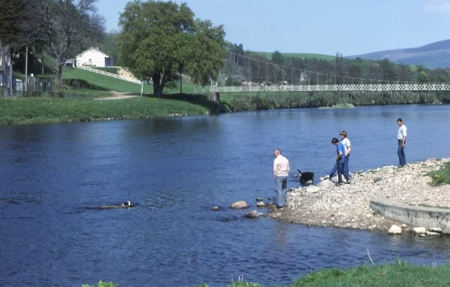 River SpeyRiver · 0.2 mi (about 0.3 mi on foot)
 MonadhliathWild Land Area · 2.6 mi (about 3 to 3.5 mi on foot)
Also nearby
- River Spey
Special Area of Conservation
Walking distances are estimates from the straight-line distance and the type of ground, not a measured route. Check a map before you set off.
About Kingussie Rail Station
Kingussie is a small town in the Badenoch and Strathspey ward of the Highland council area of Scotland. Historically in Inverness-shire, it lies beside the A9 road, although the old route of the A9 serves as the town's main street which has been bypassed since 1979. Kingussie is 42 miles south of Inverness, 12 mi (19 km) south of Aviemore, and 3 mi (5 km) north of Newtonmore.
Hills, trails and walks from the platform
Walking distances are estimates from the straight-line distance and the type of ground, not a measured route. Check a map before you set off.
| Creag BheagM | 487m | 1.1 mi (about 1.5 mi on foot) |
| Creagan Breugach | 277m | 1.4 mi (about 2 mi on foot) |
| Creag Mhor | 662m | 2.1 mi (about 3 to 3.5 mi on foot) |
| Creag Bheag | 374m | 2.1 mi (about 2.5 to 3 mi on foot) |
| Creag Bhalg | 526m | 2.2 mi (about 3 to 3.5 mi on foot) |
No National Trails within 10 miles.
Route data © OpenStreetMap contributors, ODbL – coverage and route quality vary by area.
| East Highland Way ↗Regional | 77.9 mi | 0.0 mi |
| Speyside Way ↗National | 86.9 mi | 0.0 mi |
| Gynack Mill Trail ↗ | 1.2 mi | 0.1 mi |
| Golf Course Circular ↗Local | 2.5 mi | 0.2 mi |
| Creag Bheag Trail ↗Local | 3.4 mi | 0.2 mi |