





Larbert Rail Station
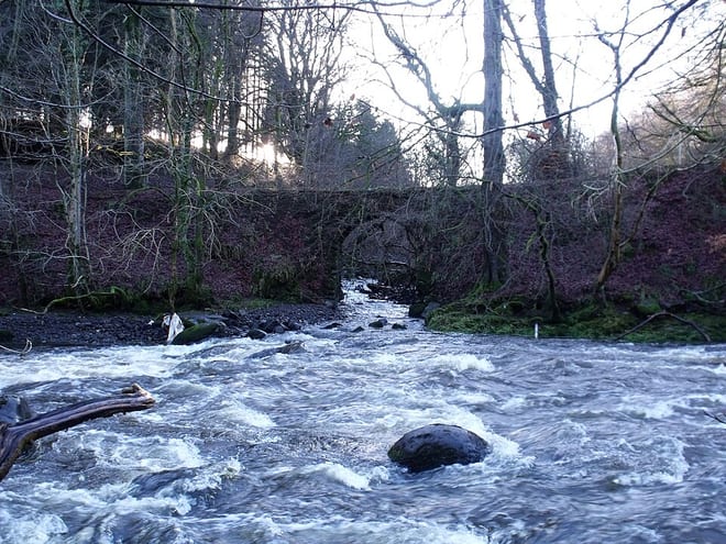
- River
- Peaks nearby
- 30
- highest 97m
- Walking routes
- 20
- within 10 miles
What's on the doorstep
Walking distances are estimates from the straight-line distance and the type of ground, not a measured route. Check a map before you set off.
About Larbert Rail Station
Larbert is a town in the Falkirk council area of Scotland. The town lies in the Forth Valley above the River Carron which flows from the west. Larbert is three miles from the shoreline of the Firth of Forth and 2+1⁄2 miles northwest of Falkirk. Stenhousemuir lies directly east of Larbert, with both settlements being contiguous and sharing certain public amenities with one another.
Hills, trails and walks from the platform
Walking distances are estimates from the straight-line distance and the type of ground, not a measured route. Check a map before you set off.
| Tappoch | 120m | 2.2 mi (about 3 mi on foot) |
| Gardrum Moss | 208m | 4.7 mi (about 6 to 7 mi on foot) |
| Myot Hill | 212m | 4.9 mi (about 6.5 to 7 mi on foot) |
| Barr Wood Hill | 154m | 5.1 mi (about 6.5 to 7.5 mi on foot) |
| Skea Craig | 258m | 5.7 mi (about 7.5 to 8.5 mi on foot) |
No National Trails within 10 miles.
Route data © OpenStreetMap contributors, ODbL – coverage and route quality vary by area.
| Forth & Clyde/Union Canal Towpath ↗National | 63.1 mi | 1.5 mi |
| John Muir Way (Croy to Falkirk) ↗National | 13.0 mi | 1.6 mi |
| John Muir Way (Falkirk to Linlithgow) ↗National | 8.8 mi | 2.6 mi |
| blue ↗ | 2.9 mi | 2.7 mi |
| yellow ↗ | 2.2 mi | 2.8 mi |