





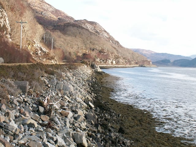
Lochailort Rail Station
- Wild Land Area
- Lake or reservoir
- Peaks nearby
- 30
- highest 99m
- Walking routes
- 5
- within 10 miles
What's on the doorstep
Moidart - ArdgourWild Land Area · 0.6 mi (about 0.7 to 0.8 mi on foot)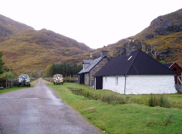 Kinlochhourn - Knoydart - MorarWild Land Area · 0.9 mi (about 1 mi on foot)
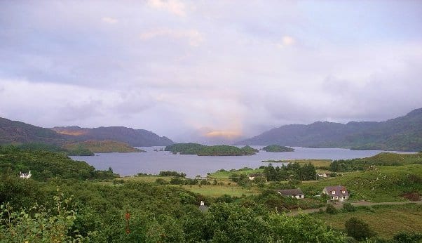 Loch MòrarLake or reservoir · 4.2 mi (about 5 to 5.5 mi on foot)
Walking distances are estimates from the straight-line distance and the type of ground, not a measured route. Check a map before you set off.
About Lochailort Rail Station
Lochailort is a small settlement in Scotland that lies at the head of Loch Ailort, a sea loch, on the junction of the Road to the Isles (A830) between Fort William and Mallaig with the A861 towards Salen and Strontian. It is served by Lochailort railway station on the West Highland Line.
Source: Wikipedia, CC BY-SA.
Hills, trails and walks from the platform
Walking distances are estimates from the straight-line distance and the type of ground, not a measured route. Check a map before you set off.
| Tom Odhar | 99m | 0.6 mi (about 0.7 to 0.8 mi on foot) |
| Beinn Bheag | 128m | 0.6 mi (about 0.7 to 0.8 mi on foot) |
| Creag Dhubh | 399m | 1.1 mi (about 1.5 mi on foot) |
| Carn Dhugaill Odhair | 131m | 1.1 mi (about 1.5 mi on foot) |
| Cnoc Polnish | 84m | 1.2 mi (about 1.5 mi on foot) |
No National Trails within 10 miles.
Route data © OpenStreetMap contributors, ODbL – coverage and route quality vary by area.
| Silver Walk ↗Local | 3.9 mi | 7.7 mi |
| Glenfinnan Viaduct Trail ↗Local | 1.3 mi | 8.1 mi |
| Cape Wrath Trail (Fort William → Glenfinnan → Morvich) ↗National | 71.2 mi | 8.6 mi |
| Pinewood Trail ↗Local | 0.6 mi | 8.7 mi |
| Dragonfly Trail ↗Local | 0.4 mi | 8.7 mi |