





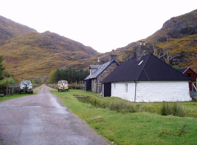
Locheilside Rail Station
- Wild Land Area
- Peaks nearby
- 30
- highest 98m
- Walking routes
- 15
- within 10 miles
What's on the doorstep
Kinlochhourn - Knoydart - MorarWild Land Area · 1.5 mi (about 2 mi on foot)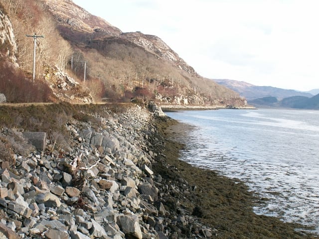 Moidart - ArdgourWild Land Area · 2.8 mi (about 3.5 mi on foot)
Walking distances are estimates from the straight-line distance and the type of ground, not a measured route. Check a map before you set off.
About Locheilside Rail Station
Locheilside railway station is a railway station on the northern shore of Loch Eil in the Highland Council Area of Scotland. This station is on the West Highland Line, between Glenfinnan and Loch Eil Outward Bound, located 7 miles 79 chains (12.9 km) from the former Banavie Junction near Fort William. ScotRail, who manage the station, operate all services.
Hills, trails and walks from the platform
Walking distances are estimates from the straight-line distance and the type of ground, not a measured route. Check a map before you set off.
| Beinn an t-Sneachda | 650m | 1.9 mi (about 2.5 to 3 mi on foot) |
| Aodann ChleireigM | 663m | 2.5 mi (about 3.5 to 4 mi on foot) |
| Meall nan Maigheach | 503m | 3.0 mi (about 4 to 4.5 mi on foot) |
| Stob Lochan Lourie | 314m | 3.2 mi (about 4 to 4.5 mi on foot) |
| Druim na Saille | 275m | 3.3 mi (about 4 to 4.5 mi on foot) |
No National Trails within 10 miles.
Route data © OpenStreetMap contributors, ODbL – coverage and route quality vary by area.
| Cape Wrath Trail (Fort William → Glenfinnan → Morvich) ↗National | 71.2 mi | 4.4 mi |
| Pinewood Trail ↗Local | 0.6 mi | 5.4 mi |
| Dragonfly Trail ↗Local | 0.4 mi | 5.4 mi |
| Glenfinnan Viaduct Trail ↗Local | 1.3 mi | 5.5 mi |
| Crofters Woods Walk ↗Local | 1.4 mi | 6.3 mi |