





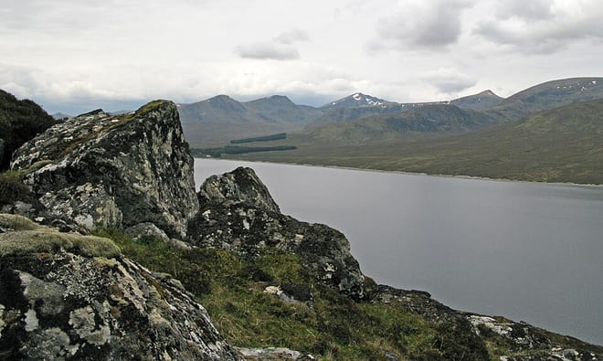
Lochluichart Rail Station
- Wild Land Area
- Peaks nearby
- 30
- highest 607m
- Walking routes
- 3
- within 10 miles
What's on the doorstep
Walking distances are estimates from the straight-line distance and the type of ground, not a measured route. Check a map before you set off.
About Lochluichart Rail Station
Lochluichart railway station is a railway station on the Kyle of Lochalsh Line, serving the village of Lochluichart in the north of Scotland. The station is located at the north edge of Loch Luichart, 17 miles 20 chains (27.8 km) from Dingwall, between Garve and Achanalt. ScotRail, which manages the station, operates all services.
Source: Wikipedia, CC BY-SA.
Hills, trails and walks from the platform
Walking distances are estimates from the straight-line distance and the type of ground, not a measured route. Check a map before you set off.
| Meall a' Chuilinn | 311m | 1.5 mi (about 2 mi on foot) |
| Meallan a' Mhuthaidh Beag | 434m | 1.6 mi (about 2 to 2.5 mi on foot) |
| Creag nan Corrachan | 489m | 2.0 mi (about 2.5 to 3 mi on foot) |
| Sgurrachd Ire | 572m | 2.0 mi (about 2.5 to 3 mi on foot) |
| Beinn a' Bhric | 442m | 2.1 mi (about 2.5 to 3 mi on foot) |
No National Trails within 10 miles.
Route data © OpenStreetMap contributors, ODbL – coverage and route quality vary by area.
| Two Bridges Trail ↗Local | 2.0 mi | 4.5 mi |
| Rogie Falls Riverside Trail ↗Local | 0.9 mi | 7.8 mi |
| Contin forest and View Rock ↗Local | 2.5 mi | 8.5 mi |