





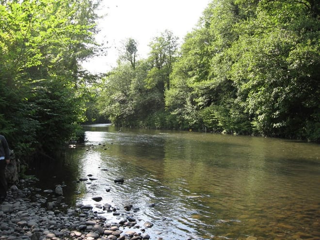
Llanhilleth Rail Station
- River
- Disused railway
- National Park
- Peaks nearby
- 30
- highest 577m
- Walking routes
- 10
- within 10 miles
What's on the doorstep
Ebbw RiverRiver · 0.1 mi (about 0.1 mi on foot) Bannau Brycheiniog / Brecon BeaconsNational Park · 4.7 mi (about 5.5 to 6.5 mi on foot)
Also nearby
Walking distances are estimates from the straight-line distance and the type of ground, not a measured route. Check a map before you set off.
About Llanhilleth Rail Station
Llanhilleth is a village, community and an electoral ward on the A467 road between Abertillery and Crumlin in Blaenau Gwent, Wales.
Source: Wikipedia, CC BY-SA.
Hills, trails and walks from the platform
Walking distances are estimates from the straight-line distance and the type of ground, not a measured route. Check a map before you set off.
| Blaen-y-cwm | 416m | 1.7 mi (about 2 to 2.5 mi on foot) |
| Mynydd Pen-y-fan | 407m | 1.8 mi (about 2.5 mi on foot) |
| Pen Coed Parciau | 363m | 2.8 mi (about 3.5 to 4 mi on foot) |
| GwastadD | 551m | 3.1 mi (about 4 to 4.5 mi on foot) |
| Mynydd Maen [Mynydd Twyn-glas]M | 473m | 3.3 mi (about 4 to 4.5 mi on foot) |
No National Trails within 10 miles.
Route data © OpenStreetMap contributors, ODbL – coverage and route quality vary by area.
| Cambrian Way ↗National | 300.1 mi | 3.7 mi |
| Rhymney Valley Ridgeway Walk ↗Regional | 28.0 mi | 5.1 mi |
| Rhymney River Circular ↗Local | 9.6 mi | 7.2 mi |
| Forge Walk ↗Local | 2.9 mi | 7.3 mi |
| Usk Valley Walk ↗Regional | 18.4 mi | 7.9 mi |