





Lydney Rail Station
- Special Area of Conservation
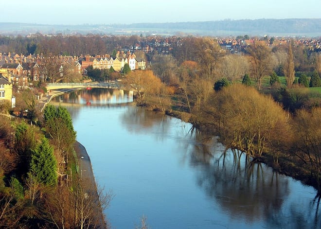
- River
- Disused railway
- Peaks nearby
- 30
- highest 63m
- Walking routes
- 19
- within 10 miles
What's on the doorstep
Walking distances are estimates from the straight-line distance and the type of ground, not a measured route. Check a map before you set off.
About Lydney Rail Station
Lydney is a town and civil parish in Gloucestershire, England. It is on the west bank of the River Severn in the Forest of Dean District, and is 16 miles (25 km) southwest of Gloucester. The town has been bypassed by the A48 road since 1995. The population was 8,960 at the 2001 census, decreasing to 8,766 at the 2011 census, and increasing to 10,043 at the 2021 census.
Source: Wikipedia, CC BY-SA.
Hills, trails and walks from the platform
Walking distances are estimates from the straight-line distance and the type of ground, not a measured route. Check a map before you set off.
| Bailey Hill | 205m | 3.7 mi (about 5 to 5.5 mi on foot) |
| Upper Hill | 59m | 4.0 mi (about 5 to 6 mi on foot) |
| Blakeney Hill | 156m | 4.1 mi (about 5.5 to 6 mi on foot) |
| Kingsland Hill | 108m | 4.7 mi (about 6 to 7 mi on foot) |
| Clayton Wood | 237m | 5.3 mi (about 7 to 7.5 mi on foot) |
| Offa's Dyke Path ↗ | 181.4 mi | 5.4 mi |
| Cotswold Way ↗ | 106.3 mi | 6.7 mi |
Route data © OpenStreetMap contributors, ODbL – coverage and route quality vary by area.
| Severn Way (3) Worcester to Bristol ↗Regional | 96.0 mi | 2.0 mi |
| Gloucestershire Way ↗Regional | 79.5 mi | 3.0 mi |
| Offa's Dyke Path ↗National | 181.6 mi | 5.4 mi |
| Wye Valley Walk ↗Regional | 139.6 mi | 6.0 mi |
| Forest of Dean Sculpture Trail ↗Local | 4.5 mi | 6.4 mi |