





Mexborough Rail Station
- River
- Canal
- Peaks nearby
- 22
- highest 96m
- Walking routes
- 15
- within 10 miles
What's on the doorstep
Walking distances are estimates from the straight-line distance and the type of ground, not a measured route. Check a map before you set off.
About Mexborough Rail Station
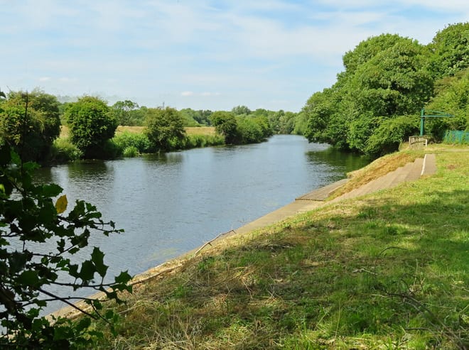
Mexborough is a town in the City of Doncaster District, South Yorkshire, England, between Manvers and Denaby Main, on the River Don close to where it joins the River Dearne, and the A6023 road. It is contiguous with Swinton to the southwest and Conisbrough to the east.
Source: Wikipedia, CC BY-SA.
Hills, trails and walks from the platform
Walking distances are estimates from the straight-line distance and the type of ground, not a measured route. Check a map before you set off.
| The Ings | 54m | 1.7 mi (about 2 to 2.5 mi on foot) |
| Newhill | 102m | 2.2 mi (about 3 mi on foot) |
| Gawk Hill | 114m | 3.3 mi (about 4 to 4.5 mi on foot) |
| Cownhill | 143m | 4.0 mi (about 5 to 6 mi on foot) |
| Hickleton Hill | 116m | 4.1 mi (about 5.5 to 6 mi on foot) |
No National Trails within 10 miles.
Route data © OpenStreetMap contributors, ODbL – coverage and route quality vary by area.
| The Heron Way ↗ | 1.1 mi | 0.5 mi |
| Trans-Pennine Trail (Wombwell to Selby) ↗Regional | 46.2 mi | 1.6 mi |
| Barnsley Boundary Walk ↗Regional | 40.1 mi | 2.1 mi |
| Don Valley Way ↗ | 4.7 mi | 2.7 mi |
| Old Salt Road ↗ | 25.0 mi | 4.9 mi |