





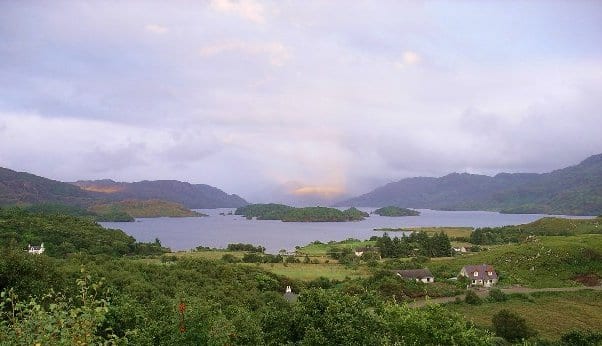
Mallaig Rail Station
- Special Area of Conservation
- Lake or reservoir
- Peaks nearby
- 30
- highest 95m
- Walking routes
- 1
- within 10 miles
What's on the doorstep
Walking distances are estimates from the straight-line distance and the type of ground, not a measured route. Check a map before you set off.
About Mallaig Rail Station
Mallaig is a port in Morar, on the west coast of the Highlands of Scotland. It faces Skye from across the Sound of Sleat. The local railway station is the terminus of the West Highland Line, and the town is linked to Fort William by the A830 road – the "Road to the Isles".
Ferry connections
Island ferries sail from the terminal a short walk from Mallaig station. Check sailings with the operator before you travel: some run less often in winter, and all depend on the weather.
- Skye (Armadale)CalMac
- Eigg, Muck, Rùm and Canna (the Small Isles)CalMac
- South Uist (Lochboisdale)CalMac
Hills, trails and walks from the platform
Walking distances are estimates from the straight-line distance and the type of ground, not a measured route. Check a map before you set off.
| Creag a' Chait | 156m | 0.5 mi (about 0.7 to 0.8 mi on foot) |
| Cruach Mhalaig | 203m | 1.1 mi (about 1.5 mi on foot) |
| Beinn nan Caorach | 210m | 1.6 mi (about 2 to 2.5 mi on foot) |
| Bourblach Hill | 118m | 1.8 mi (about 2.5 mi on foot) |
| Beoraidbeg Hill | 124m | 1.8 mi (about 2.5 mi on foot) |
No National Trails within 10 miles.
Route data © OpenStreetMap contributors, ODbL – coverage and route quality vary by area.