





Maryport Rail Station
- River
- National Landscape
- Disused railway
- Peaks nearby
- 30
- highest 95m
- Walking routes
- 2
- within 10 miles
What's on the doorstep
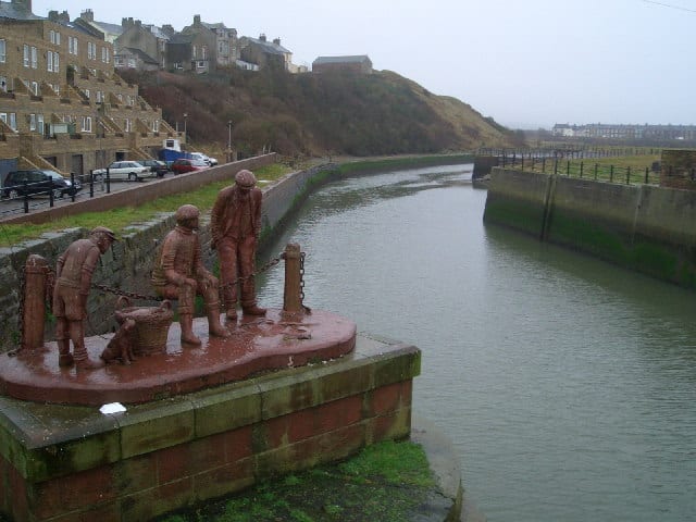
River EllenRiver · 0.1 mi (about 0.1 mi on foot) Solway Coast National LandscapeNational Landscape · 0.6 mi (about 0.7 to 0.8 mi on foot)
Also nearby
Walking distances are estimates from the straight-line distance and the type of ground, not a measured route. Check a map before you set off.
About Maryport Rail Station
Maryport is a town and civil parish in the Cumberland district of Cumbria, England. The town is on the coast of the Solway Firth and lies at the northern end of the former Cumberland Coalfield. Maryport lies approximately 5 miles (8 km) north-west of the Lake District National Park. It includes the site of the Roman settlement of Alauna. The modern town was developed from the mid-18th century around a new harbour built at the mouth of the River Ellen. The parish also includes the village of Flimby. At the 2021 census, the built-up area had a population of 8,525, while the parish had a population of 10,865.
Hills, trails and walks from the platform
Walking distances are estimates from the straight-line distance and the type of ground, not a measured route. Check a map before you set off.
| Alavna Roman Fort | 57m | 0.8 mi (about 1 mi on foot) |
| Broughton Moor | 132m | 2.1 mi (about 3 mi on foot) |
| Crosby Hill | 88m | 2.6 mi (about 3.5 mi on foot) |
| Gallowbarrow Hill | 95m | 5.5 mi (about 7 to 8 mi on foot) |
| The Howe | 52m | 5.7 mi (about 7.5 to 8 mi on foot) |
No National Trails within 10 miles.
Route data © OpenStreetMap contributors, ODbL – coverage and route quality vary by area.