





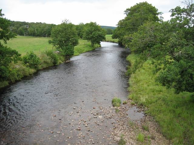
Nairn Rail Station
- River
- Special Area of Conservation
- Peaks nearby
- 16
- highest 87m
- Walking routes
- 2
- within 10 miles
What's on the doorstep
Walking distances are estimates from the straight-line distance and the type of ground, not a measured route. Check a map before you set off.
About Nairn Rail Station
Nairn is a town and former royal burgh in the Highland Council area of Scotland. It is an ancient fishing port and market town around 17 miles (27 km) east of Inverness, at the point where the River Nairn enters the Moray Firth. It is the traditional county town of Nairnshire.
Source: Wikipedia, CC BY-SA.
Hills, trails and walks from the platform
Walking distances are estimates from the straight-line distance and the type of ground, not a measured route. Check a map before you set off.
| Laiken Brae | 87m | 2.6 mi (about 3.5 to 4 mi on foot) |
| Hill of Urchany | 226m | 3.8 mi (about 5 to 5.5 mi on foot) |
| Brae of Lethen | 141m | 4.0 mi (about 5 to 6 mi on foot) |
| Lethen Bar | 258m | 6.2 mi (about 8 to 9 mi on foot) |
| Cromal Mount | 46m | 6.2 mi (about 8 to 9 mi on foot) |
No National Trails within 10 miles.
Route data © OpenStreetMap contributors, ODbL – coverage and route quality vary by area.
| Dava Way ↗National | 23.6 mi | 9.0 mi |
| Moray Coast Trail ↗National | 46.1 mi | 9.8 mi |