





Navigation Road Rail Station
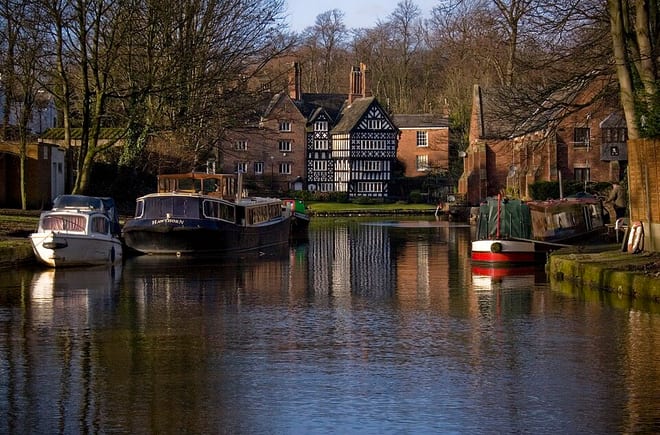
- Canal
- Peaks nearby
- 3
- highest 67m
- Walking routes
- 20
- within 10 miles
What's on the doorstep
Walking distances are estimates from the straight-line distance and the type of ground, not a measured route. Check a map before you set off.
About Navigation Road Rail Station
Navigation Road station serves the east of Altrincham, in Greater Manchester, England. It lies on the Mid-Cheshire line and the Altrincham Line of the Manchester Metrolink network. There are two bidirectional platforms: one for heavy rail and one for light rail. A level crossing operates at the southern end of the station.
Source: Wikipedia, CC BY-SA.
Hills, trails and walks from the platform
Walking distances are estimates from the straight-line distance and the type of ground, not a measured route. Check a map before you set off.
| St Mary's (Bowdon) | 67m | 1.5 mi (about 2 mi on foot) |
| Butchersfield | 44m | 5.9 mi (about 7.5 to 8.5 mi on foot) |
| Alderley Edge | 194m | 8.9 mi (about 11.5 to 13 mi on foot) |
No National Trails within 10 miles.
Route data © OpenStreetMap contributors, ODbL – coverage and route quality vary by area.
| Cheshire Ring Canal Walk ↗ | 95.3 mi | 0.3 mi |
| GM Ringway Stage 19 ↗Regional | 9.4 mi | 0.3 mi |
| GM Ringway Stage 18 ↗Regional | 10.6 mi | 0.6 mi |
| A Walk from Altrincham Interchange, Dunham Massey ↗Local | 5.9 mi | 0.6 mi |
| Trans-Pennine Trail (Warrington to Ashton-upon-Mersey) ↗Regional | 12.2 mi | 1.1 mi |