





Northampton Rail Station
- Canal
- River
- Peaks nearby
- 1
- highest 151m
- Walking routes
- 11
- within 10 miles
What's on the doorstep
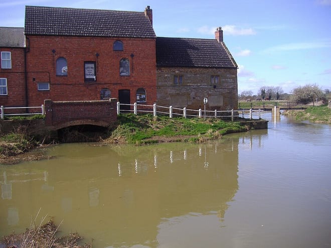
River Nene NavigationCanal · 0.5 mi (about 0.6 to 0.7 mi on foot)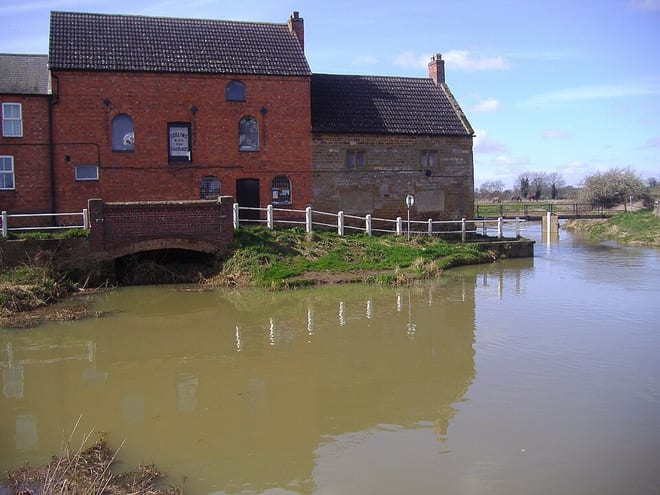 River NeneRiver · 0.5 mi (about 0.6 to 0.7 mi on foot)
Walking distances are estimates from the straight-line distance and the type of ground, not a measured route. Check a map before you set off.
About Northampton Rail Station
Northampton is a town and civil parish in Northamptonshire, England. It is the county town of Northamptonshire and the administrative centre of the unitary authority of West Northamptonshire. The town is situated on the River Nene, 60 miles (97 km) north-west of London and 50 miles (80 km) south-east of Birmingham. Northampton is one of the largest settlements in England without city status; the population of its overall urban area was recorded as 249,093 in the 2021 census. The parish of Northampton alone had 137,387.
Hills, trails and walks from the platform
Walking distances are estimates from the straight-line distance and the type of ground, not a measured route. Check a map before you set off.
| Waydale Hill | 151m | 6.0 mi (about 8 to 8.5 mi on foot) |
No National Trails within 10 miles.
Route data © OpenStreetMap contributors, ODbL – coverage and route quality vary by area.
| Nene Way ↗Regional | 113.7 mi | 0.5 mi |
| Midshires Way ↗Regional | 226.7 mi | 2.4 mi |
| Northamptonshire Round ↗ | 58.1 mi | 3.3 mi |
| Grand Union Canal Walk ↗Regional | 83.4 mi | 3.7 mi |
| Macmillan Way ↗Regional | 250.0 mi | 6.5 mi |