





Norwich Rail Station
- River
- National Park
- Peaks nearby
- 1
- highest 75m
- Walking routes
- 20
- within 10 miles
What's on the doorstep
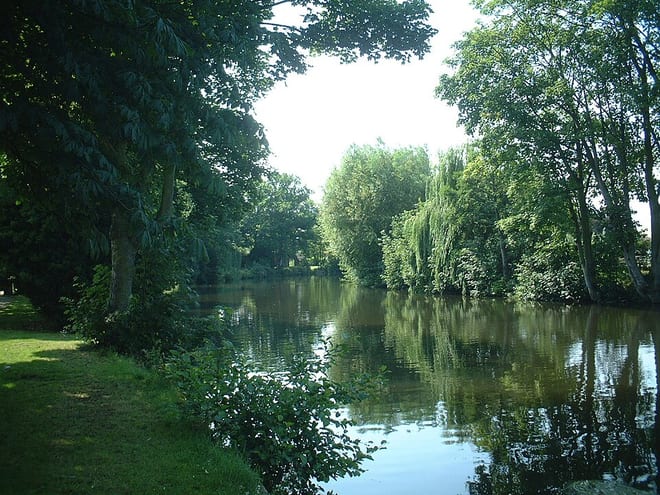
River WensumRiver · 0.1 mi (about 0.1 mi on foot) The BroadsNational Park · 0.1 mi (about 0.1 mi on foot)
Walking distances are estimates from the straight-line distance and the type of ground, not a measured route. Check a map before you set off.
About Norwich Rail Station
Norwich is a cathedral city and district in Norfolk, England, of which it is the county town. It lies by the River Wensum, about 100 mi (160 km) north-east of London, 40 mi (64 km) north of Ipswich and 65 mi (105 km) east of Peterborough. The population of the Norwich City Council local authority area was estimated to be 144,000 in 2021, which was an increase from 143,135 in 2019. The wider Norwich built-up area had a population of 213,166 at the 2011 United Kingdom census.
Hills, trails and walks from the platform
Walking distances are estimates from the straight-line distance and the type of ground, not a measured route. Check a map before you set off.
| Poringland Heath | 75m | 3.9 mi (about 5 to 5.5 mi on foot) |
No National Trails within 10 miles.
Route data © OpenStreetMap contributors, ODbL – coverage and route quality vary by area.
| Bittern Line Walk 1 ↗Local | 3.0 mi | 0.0 mi |
| Olympic Torch Relay (Norwich) ↗Local | 3.4 mi | 0.0 mi |
| Cross-Norfolk Trail ↗ | 96.5 mi | 0.1 mi |
| Wherryman's Way ↗Regional | 40.2 mi | 0.1 mi |
| Boudicca Way ↗Regional | 34.2 mi | 0.1 mi |