






Newtonmore Rail Station
- National Park
- Special Area of Conservation
- River
- Scotland's Great Trail
- Peaks nearby
- 30
- highest 929m
- Walking routes
- 14
- within 10 miles
What's on the doorstep
Cairngorms National ParkNational Park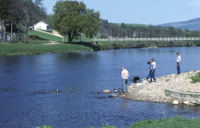 River SpeyRiver · 0.2 mi (about 0.3 mi on foot)
 Speyside WayScotland's Great Trail · 0.5 mi (about 0.5 to 0.6 mi on foot)
Also nearby
Walking distances are estimates from the straight-line distance and the type of ground, not a measured route. Check a map before you set off.
About Newtonmore Rail Station
Newtonmore is a village of approximately 1100 inhabitants in Badenoch, within the Highland council area of Scotland. The village is only a few miles from a location that is claimed to be the exact geographical centre of Scotland.
Source: Wikipedia, CC BY-SA.
Hills, trails and walks from the platform
Walking distances are estimates from the straight-line distance and the type of ground, not a measured route. Check a map before you set off.
| Ordan Shios | 354m | 1.0 mi (about 1 to 1.5 mi on foot) |
| Creagan Breugach | 277m | 1.5 mi (about 2 mi on foot) |
| An Torr | 612m | 1.8 mi (about 2.5 to 3 mi on foot) |
| Creag an Loin | 547m | 2.0 mi (about 2.5 to 3 mi on foot) |
| Creagan a' Choin | 356m | 2.0 mi (about 2.5 to 3 mi on foot) |
No National Trails within 10 miles.
Route data © OpenStreetMap contributors, ODbL – coverage and route quality vary by area.
| Wildcat Trail ↗Local | 7.0 mi | 0.0 mi |
| East Highland Way ↗Regional | 77.9 mi | 0.4 mi |
| Speyside Way ↗National | 86.9 mi | 0.5 mi |
| Curlew Trail ↗Local | 2.9 mi | 1.2 mi |
| West Terrace Circular ↗Local | 1.4 mi | 2.3 mi |