





Olton Rail Station
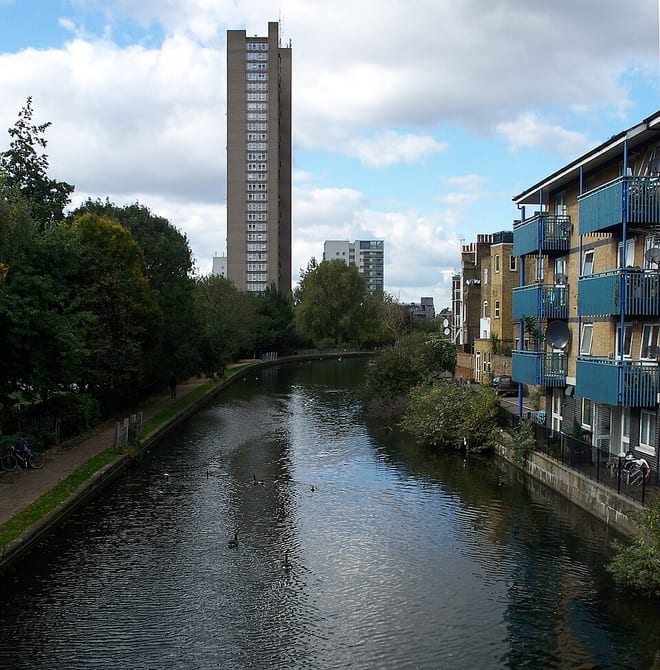
- Canal
- Peaks nearby
- 10
- highest 298m
- Walking routes
- 20
- within 10 miles
What's on the doorstep
Walking distances are estimates from the straight-line distance and the type of ground, not a measured route. Check a map before you set off.
About Olton Rail Station
Olton is a suburban village within the Metropolitan Borough of Solihull in the West Midlands, England. Originally known as Ulverlei, the lords of the manor moved their seat in the 13th century and formed a new settlement, at the junction of two major roads. It was then that the name 'Oulton' began to be used to distinguish the village from nearby Solihull. Historically within the county of Warwickshire, the village has gradually become contiguous with Solihull to the southeast and Birmingham to the northwest, though it retains the character of a large independent village.
Hills, trails and walks from the platform
Walking distances are estimates from the straight-line distance and the type of ground, not a measured route. Check a map before you set off.
| High Hill | 208m | 7.2 mi (about 9.5 to 10.5 mi on foot) |
| Moorgreen Hill | 177m | 7.4 mi (about 9.5 to 10.5 mi on foot) |
| Wood End Hill | 185m | 7.8 mi (about 10 to 11 mi on foot) |
| Warley Park | 236m | 8.1 mi (about 10.5 to 11.5 mi on foot) |
| Newbourne Hill | 177m | 8.7 mi (about 11.5 to 12.5 mi on foot) |
No National Trails within 10 miles.
Route data © OpenStreetMap contributors, ODbL – coverage and route quality vary by area.
| Rail Trail: Olton > Shirley ↗Local | 7.9 mi | 0.0 mi |
| Grand Union Canal Walk ↗Regional | 39.0 mi | 0.1 mi |
| Acocks Green Heritage Trail ↗Local | 4.4 mi | 0.7 mi |
| Rail Trail: Marston Green Circular via Elmdon ↗Local | 5.0 mi | 1.5 mi |
| Rail Trail: Solihull Circular (via Malvern & Brueton Park) ↗Local | 5.2 mi | 1.8 mi |