





Pegswood Rail Station
- River
- Peaks nearby
- 4
- highest 89m
- Walking routes
- 3
- within 10 miles
What's on the doorstep
Walking distances are estimates from the straight-line distance and the type of ground, not a measured route. Check a map before you set off.
About Pegswood Rail Station
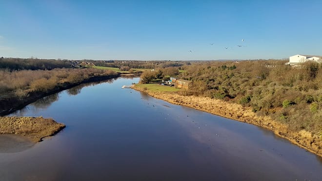
Pegswood is a historic mining village and civil parish in Northumberland, England, and the site of the former Pegswood Colliery. Pegswood is two miles (3 km) east of Morpeth and three miles (5 km) west of Ashington, with a population of around 3,280. Pegswood is on a small hill above the valley in which Morpeth is situated, close to the River Wansbeck and to the small stream Brocks Burn.
Hills, trails and walks from the platform
Walking distances are estimates from the straight-line distance and the type of ground, not a measured route. Check a map before you set off.
| Quarry Hill | 135m | 3.6 mi (about 4.5 to 5.5 mi on foot) |
| Beacon Hill | 195m | 5.7 mi (about 7.5 to 8.5 mi on foot) |
| Northumberlandia [Lady Of The North] | 115m | 6.2 mi (about 8 to 9 mi on foot) |
| Berwick Hill | 89m | 7.9 mi (about 10.5 to 11.5 mi on foot) |
No National Trails within 10 miles.
Route data © OpenStreetMap contributors, ODbL – coverage and route quality vary by area.
| King Charles III England Coast Path: South Bents to Amble ↗National | 44.5 mi | 4.3 mi |
| Northumberland Coast Path ↗Regional | 65.2 mi | 5.7 mi |
| The Angel's Way ↗Regional | 31.9 mi | 8.7 mi |