





Pershore Rail Station
- River
- Peaks nearby
- 20
- highest 98m
- Walking routes
- 20
- within 10 miles
What's on the doorstep
Walking distances are estimates from the straight-line distance and the type of ground, not a measured route. Check a map before you set off.
About Pershore Rail Station
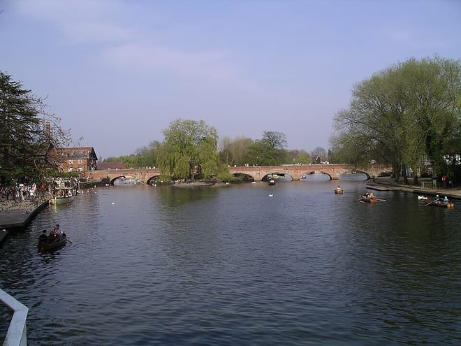
Pershore is a market town and civil parish in the Wychavon district, in Worcestershire, England. It lies on the banks of the river Avon and in the Vale of Evesham, 6 miles (10 km) west of Evesham and 10 miles (16 km) east of Worcester. At the 2011 census, the population was 7,125. The town is best known for Pershore Abbey.
Source: Wikipedia, CC BY-SA.
Hills, trails and walks from the platform
Walking distances are estimates from the straight-line distance and the type of ground, not a measured route. Check a map before you set off.
| Allesborough Hill | 56m | 1.2 mi (about 1.5 to 2 mi on foot) |
| Swines Hill | 124m | 4.0 mi (about 5 to 5.5 mi on foot) |
| Windy Ridge | 72m | 4.7 mi (about 6 to 7 mi on foot) |
| Bredon HillM | 299m | 4.8 mi (about 6.5 to 7 mi on foot) |
| Rous Lench Hill | 118m | 5.4 mi (about 7 to 8 mi on foot) |
No National Trails within 10 miles.
Route data © OpenStreetMap contributors, ODbL – coverage and route quality vary by area.
| Wychavon Way ↗Regional | 40.9 mi | 0.7 mi |
| Shakespeare's Avon Way ↗Regional | 96.0 mi | 0.7 mi |
| Pershore Bridges Circular Walk ↗Local | 4.1 mi | 1.8 mi |
| Millennium Way (Warks) ↗Regional | 81.7 mi | 1.8 mi |
| Wychavon Way (old) ↗ | 6.9 mi | 2.8 mi |