





Penyffordd Rail Station
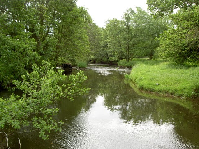
- River
- Peaks nearby
- 30
- highest 413m
- Walking routes
- 21
- within 10 miles
What's on the doorstep
Walking distances are estimates from the straight-line distance and the type of ground, not a measured route. Check a map before you set off.
About Penyffordd Rail Station
Penyffordd, or Pen-y-ffordd, is a village, community and electoral ward in Flintshire, Wales, situated to the south east of Buckley and to the west of Chester. The name is derived from the Welsh Pen Y Ffordd – roughly translated as 'the highest or furthest point of the road'. The resident population of Penyffordd, as measured in the 2001 Census, was 3,715, increasing to 3,874 at the 2011 census.
Hills, trails and walks from the platform
Walking distances are estimates from the straight-line distance and the type of ground, not a measured route. Check a map before you set off.
| Pen Pontblyddyn | 130m | 0.9 mi (about 1 to 1.5 mi on foot) |
| Pen Celyn | 194m | 2.4 mi (about 3 to 3.5 mi on foot) |
| Prenbrigog | 172m | 2.5 mi (about 3.5 mi on foot) |
| Caer Estyn | 154m | 2.6 mi (about 3.5 mi on foot) |
| Caergwrle Castle | 137m | 2.6 mi (about 3.5 to 4 mi on foot) |
| Offa's Dyke Path ↗ | 181.4 mi | 7.7 mi |
Route data © OpenStreetMap contributors, ODbL – coverage and route quality vary by area.
| Llwybr Clawdd Wat ↗Regional | 62.6 mi | 0.0 mi |
| Wales Link Path ↗Local | 14.0 mi | 2.3 mi |
| Wales Coast Path (North Wales) main route ↗National | 86.1 mi | 4.9 mi |
| Long Walk Route ↗Local | 6.6 mi | 6.5 mi |
| Black Grouse ↗Local | 2.2 mi | 6.5 mi |