






Polmont Rail Station
- Scotland's Great Trail
- Canal
- River
- Disused railway
- Lake or reservoir
- Peaks nearby
- 28
- highest 95m
- Walking routes
- 19
- within 10 miles
What's on the doorstep
Forth and Clyde and Union Canal TowpathScotland's Great Trail · 0.1 mi (about 0.1 mi on foot) John Muir WayScotland's Great Trail · 0.1 mi (about 0.1 mi on foot)
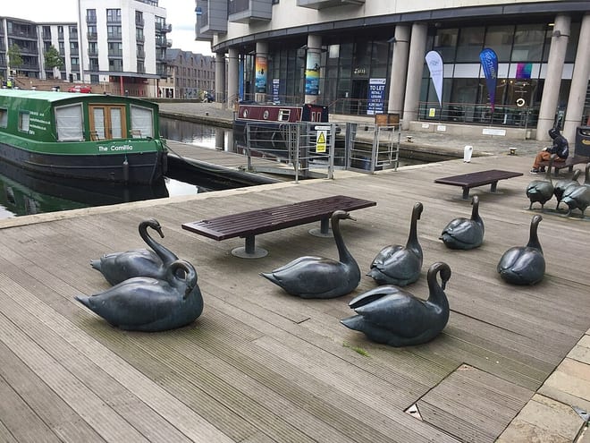 Union CanalCanal · 0.1 mi (about 0.2 mi on foot)
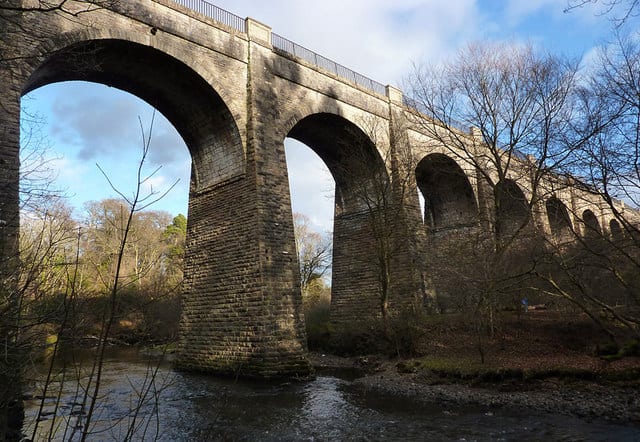 River Avon (Falkirk)River · 1.3 mi (about 1.5 mi on foot)
Also nearby
Walking distances are estimates from the straight-line distance and the type of ground, not a measured route. Check a map before you set off.
About Polmont Rail Station
Polmont is a village in the Falkirk council area of Central Scotland. It lies towards the east of the town of Falkirk, north of the Union Canal, which runs adjacent to the village.
Source: Wikipedia, CC BY-SA.
Hills, trails and walks from the platform
Walking distances are estimates from the straight-line distance and the type of ground, not a measured route. Check a map before you set off.
| Gardrum Moss | 208m | 2.3 mi (about 3 to 3.5 mi on foot) |
| Grayrigg | 210m | 2.6 mi (about 3.5 mi on foot) |
| Candiehead | 186m | 2.6 mi (about 3.5 to 4 mi on foot) |
| Bowden Hill | 229m | 3.7 mi (about 5 to 5.5 mi on foot) |
| Cow Hill | 209m | 3.7 mi (about 5 to 5.5 mi on foot) |
No National Trails within 10 miles.
Route data © OpenStreetMap contributors, ODbL – coverage and route quality vary by area.
| John Muir Way (Falkirk to Linlithgow) ↗National | 8.8 mi | 0.1 mi |
| Forth & Clyde/Union Canal Towpath ↗National | 63.1 mi | 0.1 mi |
| blue ↗ | 2.9 mi | 1.6 mi |
| yellow ↗ | 2.2 mi | 1.7 mi |
| red ↗ | 1.3 mi | 1.7 mi |