






Penrhyndeudraeth Rail Station
- Special Area of Conservation
- National Park
- National Nature Reserve
- Lake or reservoir
- Peaks nearby
- 30
- highest 87m
- Walking routes
- 19
- within 10 miles
What's on the doorstep
Eryri / SnowdoniaNational Park · 0.4 mi (about 0.5 to 0.6 mi on foot)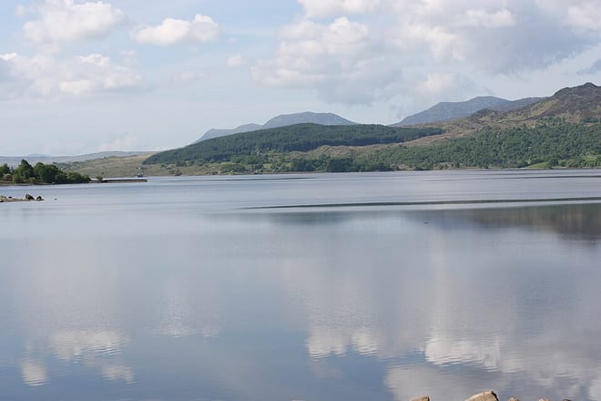 Llyn TrawsfynyddLake or reservoir · 3.8 mi (about 4.5 to 5 mi on foot)
Also nearby
- Pen Llyn a`r Sarnau/ Lleyn Peninsula and the Sarnau
Special Area of Conservation
0.1 mi (about 0.1 mi on foot)
- Coedydd Derw a Safleoedd Ystlumod Meirion/ Meirionnydd Oakwoods and Bat Sites
Special Area of Conservation
0.3 mi (about 0.4 mi on foot)
Walking distances are estimates from the straight-line distance and the type of ground, not a measured route. Check a map before you set off.
About Penrhyndeudraeth Rail Station
Penrhyndeudraeth is a small town and community in the Welsh county of Gwynedd. The town is close to the mouth of the River Dwyryd on the A487 nearly 3 miles (4.8 km) east of Porthmadog, and had a population of 2,150 at the 2011 census, increased from 2,031 in 2001. The community includes the villages of Minffordd and Portmeirion.
Hills, trails and walks from the platform
Walking distances are estimates from the straight-line distance and the type of ground, not a measured route. Check a map before you set off.
| Pen-y-bwlch | 86m | 0.5 mi (about 0.7 to 0.8 mi on foot) |
| Pen Ty-fry | 87m | 0.7 mi (about 1 mi on foot) |
| Y Garth | 76m | 0.8 mi (about 1 mi on foot) |
| Bryn Dwyryd | 76m | 0.9 mi (about 1 to 1.5 mi on foot) |
| Ynys Berfedd | 43m | 1.1 mi (about 1.5 mi on foot) |
No National Trails within 10 miles.
Route data © OpenStreetMap contributors, ODbL – coverage and route quality vary by area.
| Wales Coast Path (Meirionnydd) ↗Regional | 64.6 mi | 0.0 mi |
| Taith Ardudwy Way ↗Local | 3.6 mi | 1.9 mi |
| Llŷn Coastal Path ↗Regional | 101.2 mi | 2.7 mi |
| Cambrian Way ↗National | 300.1 mi | 3.4 mi |
| Llwybr Llechi Eryri ↗Regional | 84.3 mi | 3.8 mi |