





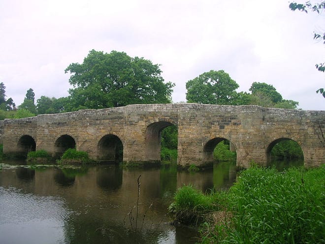
Pulborough Rail Station
- River
- National Park
- Special Area of Conservation
- Peaks nearby
- 30
- highest 95m
- Walking routes
- 21
- within 10 miles
What's on the doorstep
River ArunRiver · 0.1 mi (about 0.1 mi on foot) South DownsNational Park · 0.1 mi (about 0.2 mi on foot)
Also nearby
Walking distances are estimates from the straight-line distance and the type of ground, not a measured route. Check a map before you set off.
About Pulborough Rail Station
Pulborough is a village and civil parish in the Horsham district of West Sussex, England, with some 5,000 inhabitants. It is located almost centrally within West Sussex and is 42 miles (68 km) south west of London. It is at the junction of the north–south A29 and the east–west A283 roads.
Source: Wikipedia, CC BY-SA.
Hills, trails and walks from the platform
Walking distances are estimates from the straight-line distance and the type of ground, not a measured route. Check a map before you set off.
| Park Mound | 58m | 0.4 mi (about 0.5 to 0.6 mi on foot) |
| Fittleworth Common | 59m | 1.6 mi (about 2 to 2.5 mi on foot) |
| Toat Hill | 66m | 1.9 mi (about 2.5 to 3 mi on foot) |
| Broomershill | 94m | 2.0 mi (about 2.5 to 3 mi on foot) |
| Hesworth Common | 69m | 2.4 mi (about 3 to 3.5 mi on foot) |
| South Downs Way ↗ | 114.0 mi | 3.7 mi |
Route data © OpenStreetMap contributors, ODbL – coverage and route quality vary by area.
| Wey-South Path ↗Regional | 35.7 mi | 0.3 mi |
| West Sussex Literary Trail ↗Regional | 49.3 mi | 1.7 mi |
| The Serpent Trail ↗Regional | 62.9 mi | 1.8 mi |
| The Heritage Trail ↗ | 0.2 mi | 1.9 mi |
| Sussex Diamond Way ↗Regional | 60.9 mi | 2.7 mi |