





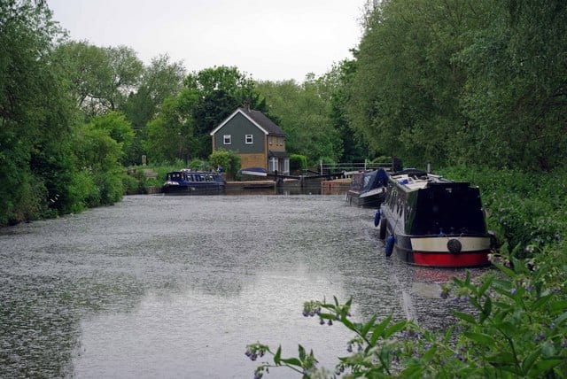
Sawbridgeworth Rail Station
- River
- Peaks nearby
- 2
- highest 79m
- Walking routes
- 20
- within 10 miles
What's on the doorstep
Walking distances are estimates from the straight-line distance and the type of ground, not a measured route. Check a map before you set off.
About Sawbridgeworth Rail Station
Sawbridgeworth is a town and civil parish in the East Hertfordshire district of Hertfordshire, England. It lies 10 miles (16 km) east of the county town of Hertford, in between the towns of Bishop's Stortford to the north and Harlow to the south. The town is on the west bank of the River Stort, which forms the county boundary with Essex.
Source: Wikipedia, CC BY-SA.
Hills, trails and walks from the platform
Walking distances are estimates from the straight-line distance and the type of ground, not a measured route. Check a map before you set off.
| Clayton Hill | 79m | 9.2 mi (about 12 to 13.5 mi on foot) |
| Epping Forest | 117m | 9.8 mi (about 12.5 to 14 mi on foot) |
No National Trails within 10 miles.
Route data © OpenStreetMap contributors, ODbL – coverage and route quality vary by area.
| Three Forests Way ↗Regional | 60.7 mi | 0.4 mi |
| Harcamlow Way ↗Regional | 138.1 mi | 0.4 mi |
| London to Walsingham - stage 03 ↗Local | 18.1 mi | 0.4 mi |
| Stort Valley Way ↗ | 32.2 mi | 0.4 mi |
| London to Walsingham - stage 02 ↗Local | 16.7 mi | 0.8 mi |