





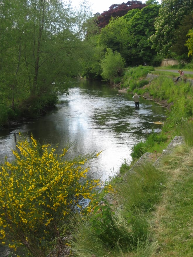
Shawfair Rail Station
- Disused railway
- River
- Peaks nearby
- 30
- highest 59m
- Walking routes
- 20
- within 10 miles
What's on the doorstep
River North EskRiver · 1.1 mi (about 1.5 mi on foot)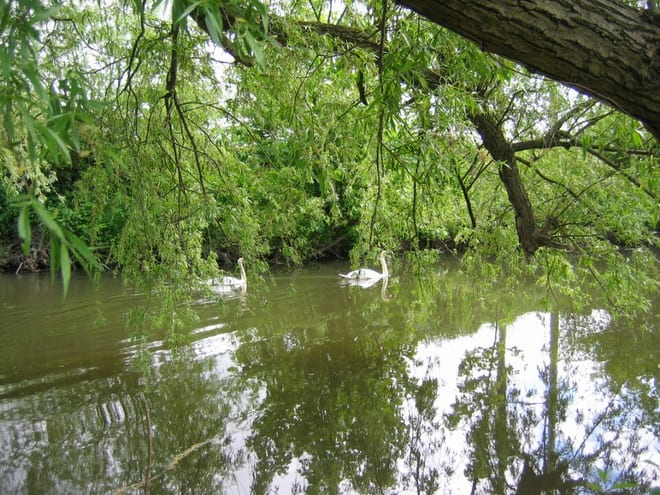 River South EskRiver · 1.3 mi (about 1.5 to 2 mi on foot)
Also nearby
Walking distances are estimates from the straight-line distance and the type of ground, not a measured route. Check a map before you set off.
About Shawfair Rail Station
Shawfair is a 21st century development, primarily residential in character, under construction in Midlothian, Scotland, near to the existing village of Danderhall and the hamlets of Newton and Millerhill, which lie just outside the eastern boundary of the city of Edinburgh. It is to be built on the site of the former Monktonhall Colliery. The name is derived from a local farm steading of the same name.
Hills, trails and walks from the platform
Walking distances are estimates from the straight-line distance and the type of ground, not a measured route. Check a map before you set off.
| Dunsapie | 145m | 3.1 mi (about 4 to 4.5 mi on foot) |
| Arthur's SeatM | 251m | 3.3 mi (about 4.5 to 5 mi on foot) |
| Carberry Hill | 160m | 3.5 mi (about 4.5 to 5 mi on foot) |
| Salisbury Crags | 176m | 3.8 mi (about 5 to 5.5 mi on foot) |
| Blackford Hill | 164m | 4.1 mi (about 5.5 to 6 mi on foot) |
No National Trails within 10 miles.
Route data © OpenStreetMap contributors, ODbL – coverage and route quality vary by area.
| Core Paths ↗Local | 147.1 mi | 1.0 mi |
| Innocent Railway ↗ | 7.6 mi | 1.0 mi |
| North Esk Way ↗Local | 11.2 mi | 1.4 mi |
| John Muir Way (Edinburgh to Prestonpans) ↗National | 10.2 mi | 1.7 mi |
| Burdiehouse Burn Valley Park ↗Local | 2.2 mi | 2.2 mi |