





Sileby Rail Station
- Canal
- River
- Peaks nearby
- 12
- highest 97m
- Walking routes
- 7
- within 10 miles
What's on the doorstep
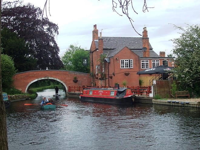
River SoarCanal · 0.6 mi (about 0.7 to 0.8 mi on foot)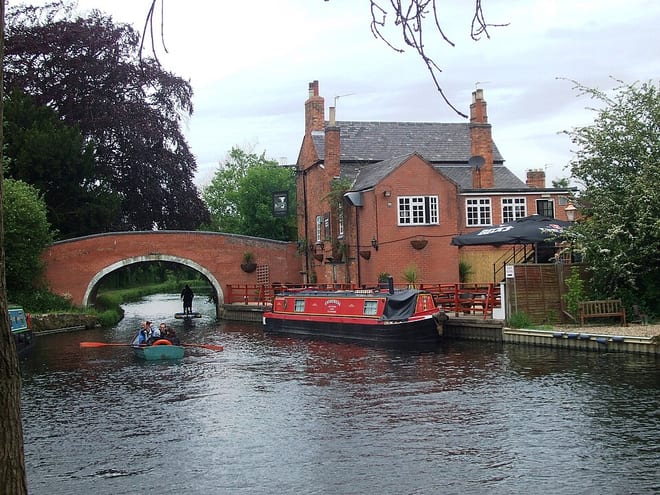 River SoarRiver · 0.6 mi (about 0.8 to 0.9 mi on foot)
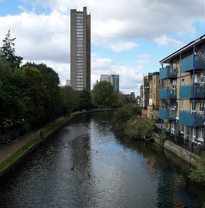 Grand Union CanalCanal · 1.9 mi (about 2.5 mi on foot)
Walking distances are estimates from the straight-line distance and the type of ground, not a measured route. Check a map before you set off.
About Sileby Rail Station
Sileby is a former industrial village and civil parish in the Soar Valley in the Charnwood borough of Leicestershire, England. It is located between Leicester and Loughborough. The village is close to Barrow upon Soar, Mountsorrel, Ratcliffe-on-the-Wreake, Seagrave and Cossington. The population of the civil parish at the 2011 census was 7,835, rising to 8,959 at the 2021 census.
Hills, trails and walks from the platform
Walking distances are estimates from the straight-line distance and the type of ground, not a measured route. Check a map before you set off.
| Old John Tower | 212m | 5.4 mi (about 7 to 8 mi on foot) |
| Beacon Hill | 248m | 5.7 mi (about 7.5 to 8.5 mi on foot) |
| Benscliffe Hill | 237m | 5.8 mi (about 7.5 to 8.5 mi on foot) |
| Nether Hall | 110m | 6.1 mi (about 8 to 9 mi on foot) |
| Bawdon Castle | 232m | 6.7 mi (about 8.5 to 9.5 mi on foot) |
No National Trails within 10 miles.
Route data © OpenStreetMap contributors, ODbL – coverage and route quality vary by area.
| Leicestershire Round ↗Regional | 102.5 mi | 0.6 mi |
| National Forest Way ↗Regional | 76.1 mi | 4.1 mi |
| Midshires Way ↗Regional | 226.7 mi | 4.2 mi |
| Notts Wolds Way ↗Regional | 4.1 mi | 6.5 mi |
| Bunny Old Wood Nature Trail ↗Local | 1.3 mi | 8.1 mi |