





Sleaford Rail Station
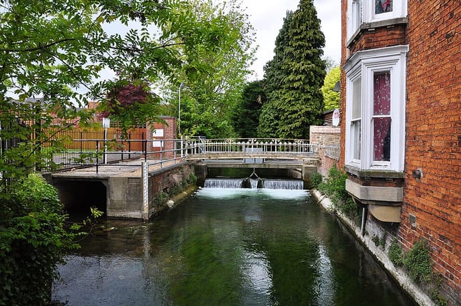
- River
- Peaks nearby
- 2
- highest 95m
- Walking routes
- 9
- within 10 miles
What's on the doorstep
Walking distances are estimates from the straight-line distance and the type of ground, not a measured route. Check a map before you set off.
About Sleaford Rail Station
Sleaford is a market town and civil parish in the North Kesteven district of Lincolnshire, England. On the edge of the Fenlands, it is 11 miles north-east of Grantham, 16 mi (26 km) west of Boston, and 17 mi (27 km) south of Lincoln. It is the largest settlement in North Kesteven with a population of 19,807 in 2021. Centred on the former parish of New Sleaford, the modern boundaries and urban area include Quarrington to the south-west, Holdingham to the north-west and Old Sleaford to the east. The town is bypassed by the A17 and the A15 roads. Sleaford railway station is on the Nottingham to Skegness and Peterborough to Lincoln lines.
Hills, trails and walks from the platform
Walking distances are estimates from the straight-line distance and the type of ground, not a measured route. Check a map before you set off.
| Normanton Hill | 114m | 6.7 mi (about 9 to 10 mi on foot) |
| Summerfield's Hill | 95m | 9.3 mi (about 12 to 13.5 mi on foot) |
No National Trails within 10 miles.
Route data © OpenStreetMap contributors, ODbL – coverage and route quality vary by area.
| Spires and Steeples Trail ↗Regional | 21.3 mi | 0.2 mi |
| Viking Way (Barnetby to Whitwell) ↗Regional | 128.7 mi | 5.1 mi |
| Crab Lane ↗ | 0.7 mi | 7.2 mi |
| Belton Pleasure Grounds Walk, Belton House ↗Local | 1.7 mi | 8.9 mi |
| Tamper and Walk Trail, Belton House ↗Local | 3.5 mi | 9.0 mi |