





Saltmarshe Rail Station
- River
- Peaks nearby
- 5
- highest 70m
- Walking routes
- 8
- within 10 miles
What's on the doorstep
Walking distances are estimates from the straight-line distance and the type of ground, not a measured route. Check a map before you set off.
About Saltmarshe Rail Station
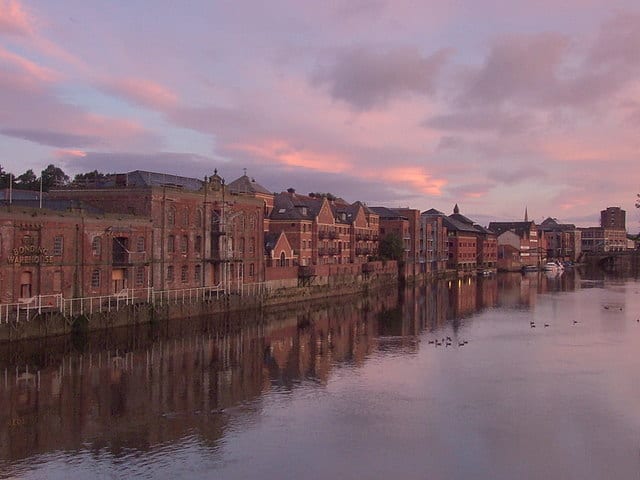
Saltmarshe is a hamlet and former civil parish, now in the parish of Laxton, in the East Riding of Yorkshire, England. It is situated on the north bank of the River Ouse, downstream from York, Selby and Goole. Saltmarshe is approximately 3 miles (5 km) south-east from Howden and 21 miles (34 km) south-east from York. In 1931 the parish had a population of 82.
Source: Wikipedia, CC BY-SA.
Hills, trails and walks from the platform
Walking distances are estimates from the straight-line distance and the type of ground, not a measured route. Check a map before you set off.
| Whitton Island | 5m | 5.5 mi (about 7 to 8 mi on foot) |
| Walks End Hill | 69m | 6.5 mi (about 8.5 to 9.5 mi on foot) |
| Coleby Wood | 70m | 6.6 mi (about 8.5 to 9.5 mi on foot) |
| Barlow Mound | 40m | 8.2 mi (about 10.5 to 12 mi on foot) |
| Church Hill | 47m | 8.5 mi (about 11 to 12.5 mi on foot) |
| Yorkshire Wolds Way ↗ | 81.6 mi | 9.7 mi |
Route data © OpenStreetMap contributors, ODbL – coverage and route quality vary by area.
| Trans-Pennine Trail (Selby to Hull) ↗Regional | 45.7 mi | 0.7 mi |
| Trent Valley Way ↗Regional | 193.5 mi | 6.2 mi |
| Nev Cole Way ↗Regional | 56.1 mi | 6.2 mi |
| Camino Ingles to Santiago ↗Regional | 27.7 mi | 8.3 mi |
| Trans-Pennine Trail (Wombwell to Selby) ↗Regional | 46.2 mi | 9.0 mi |