






Sandown Rail Station
- Disused railway
- National Landscape
- River
- Special Area of Conservation
- Peaks nearby
- 18
- highest 92m
- Walking routes
- 20
- within 10 miles
What's on the doorstep
Isle of Wight National LandscapeNational Landscape · 0.3 mi (about 0.4 mi on foot)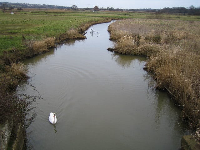 River YarRiver · 0.5 mi (about 0.6 to 0.7 mi on foot)
Also nearby
Walking distances are estimates from the straight-line distance and the type of ground, not a measured route. Check a map before you set off.
About Sandown Rail Station
Sandown is a seaside resort town and civil parish on the south-east coast of the Isle of Wight, England. The neighbouring resort of Shanklin and the settlement of Lake are sited just to the south of the town. At the 2021 census, the parish had a population of 7,129, while the wider Sandown built-up area had a population of 11,655. Sandown is the northernmost town on Sandown Bay, with its easily accessible, sandy beaches running continuously from the cliffs below Battery Gardens in the south to Yaverland in the north.
Hills, trails and walks from the platform
Walking distances are estimates from the straight-line distance and the type of ground, not a measured route. Check a map before you set off.
| Brading Down | 131m | 1.6 mi (about 2 to 2.5 mi on foot) |
| Bembridge Down | 105m | 2.2 mi (about 3 mi on foot) |
| Ashey Down | 130m | 2.2 mi (about 3 mi on foot) |
| Arreton Down | 135m | 3.3 mi (about 4.5 to 5 mi on foot) |
| Beaper Hill | 56m | 3.3 mi (about 4.5 to 5 mi on foot) |
No National Trails within 10 miles.
Route data © OpenStreetMap contributors, ODbL – coverage and route quality vary by area.
| Nunwell Trail ↗Local | 6.6 mi | 0.0 mi |
| Yar River Trail ↗Local | 17.8 mi | 0.3 mi |
| Isle of Wight Coastal Path ↗Regional | 71.2 mi | 0.4 mi |
| Borthwood Copse Red Squirrel Walk, Isle of Wight ↗Local | 1.1 mi | 1.4 mi |
| European walking route E9, Isle of Wight alternative ↗International | 47.8 mi | 1.6 mi |