





Stourbridge Town Rail Station
- River
- Canal
- Peaks nearby
- 30
- highest 316m
- Walking routes
- 20
- within 10 miles
What's on the doorstep
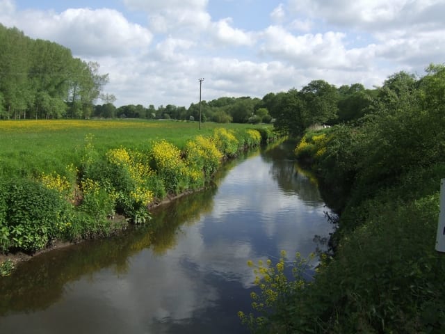
River Stour (Worcestershire)River · 0.2 mi (about 0.2 mi on foot)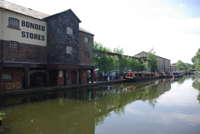 Stourbridge CanalCanal · 0.5 mi (about 0.6 to 0.7 mi on foot)
Walking distances are estimates from the straight-line distance and the type of ground, not a measured route. Check a map before you set off.
About Stourbridge Town Rail Station
Stourbridge Town is a railway station in the town of Stourbridge, West Midlands, England. It is situated at the end of the Stourbridge Town branch line linking the station with Stourbridge Junction, 0.8 miles away, where passengers can change for mainline train services. It is said to be the shortest operational branch railway line in Europe.
Source: Wikipedia, CC BY-SA.
Hills, trails and walks from the platform
Walking distances are estimates from the straight-line distance and the type of ground, not a measured route. Check a map before you set off.
| Wychbury Hill | 224m | 1.7 mi (about 2 to 2.5 mi on foot) |
| Iverley Hill | 146m | 2.2 mi (about 3 to 3.5 mi on foot) |
| Ridgehill | 141m | 2.6 mi (about 3.5 mi on foot) |
| Stand Hill | 140m | 2.6 mi (about 3.5 mi on foot) |
| The Four Stones | 309m | 3.0 mi (about 4 to 4.5 mi on foot) |
No National Trails within 10 miles.
Route data © OpenStreetMap contributors, ODbL – coverage and route quality vary by area.
| Monarch's Way ↗Regional | 573.3 mi | 0.0 mi |
| Stourbridge Heritage Trail ↗Local | 0.8 mi | 0.1 mi |
| Stourbridge Town Arm Walk ↗Local | 1.3 mi | 0.5 mi |
| Stourbridge Canal & Glass Quarter Heritage Trail ↗Local | 7.0 mi | 0.5 mi |
| The Crystal Canal Walk ↗Local | 2.0 mi | 0.5 mi |