





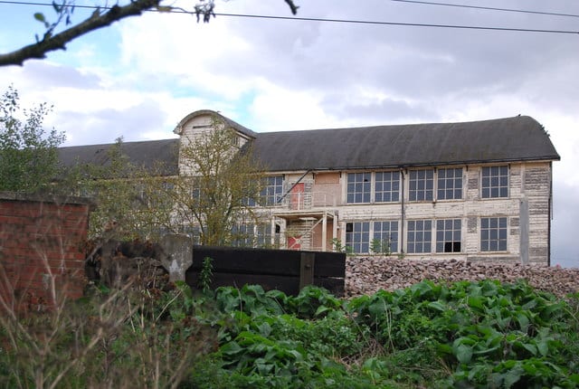
Stowmarket Rail Station
- River
- Peaks nearby
- 1
- highest 92m
- Walking routes
- 14
- within 10 miles
What's on the doorstep
Walking distances are estimates from the straight-line distance and the type of ground, not a measured route. Check a map before you set off.
About Stowmarket Rail Station
Stowmarket is a market town and civil parish in the Mid Suffolk district of Suffolk, England, on the A14 trunk road between Bury St Edmunds to the west and Ipswich to the southeast. The town lies on the Great Eastern Main Line (GEML) between Diss and Needham Market, and lies on the River Gipping, which is joined by its tributary, the River Rat, to the south of the town.
Hills, trails and walks from the platform
Walking distances are estimates from the straight-line distance and the type of ground, not a measured route. Check a map before you set off.
| Wattisham Airfield | 92m | 5.0 mi (about 6.5 to 7 mi on foot) |
No National Trails within 10 miles.
Route data © OpenStreetMap contributors, ODbL – coverage and route quality vary by area.
| Gipping Valley River Path ↗ | 16.7 mi | 0.1 mi |
| The Mid Suffolk Footpath ↗Regional | 22.4 mi | 0.6 mi |
| Middy Railway Footpath ↗Local | 7.6 mi | 2.4 mi |
| Bradfield Woods Black Route ↗Local | 1.2 mi | 7.0 mi |
| Bradfield Woods Blue Route ↗Local | 1.9 mi | 7.0 mi |