





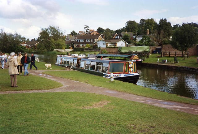
Tiverton Parkway Rail Station
- Canal
- Peaks nearby
- 30
- highest 292m
- Walking routes
- 20
- within 10 miles
What's on the doorstep
Walking distances are estimates from the straight-line distance and the type of ground, not a measured route. Check a map before you set off.
About Tiverton Parkway Rail Station
Tiverton Parkway railway station is on the Bristol to Exeter line in Devon, England. Despite being named after the town of Tiverton, it is actually located a short distance from the village of Sampford Peverell, 6 miles (9.7 km) to the east of Tiverton, and close to the junction of the M5 motorway with the A361 North Devon link road. It is 177 miles (285 km) from the zero point at London Paddington via Bristol Temple Meads.
Hills, trails and walks from the platform
Walking distances are estimates from the straight-line distance and the type of ground, not a measured route. Check a map before you set off.
| Rocknell Hill | 154m | 1.9 mi (about 2.5 mi on foot) |
| Newmill Hill | 236m | 1.9 mi (about 2.5 to 3 mi on foot) |
| Fenacre Knap | 152m | 2.7 mi (about 3.5 to 4 mi on foot) |
| Maiden Down | 167m | 2.8 mi (about 3.5 to 4 mi on foot) |
| Chimney Down | 266m | 3.8 mi (about 5 to 5.5 mi on foot) |
No National Trails within 10 miles.
Route data © OpenStreetMap contributors, ODbL – coverage and route quality vary by area.
| Two Counties Way ↗Regional | 45.2 mi | 0.6 mi |
| Willand Village Trail ↗Local | 2.5 mi | 1.5 mi |
| Uffculme Village Trail ↗ | 7.0 mi | 1.6 mi |
| Burlescombe Trail ↗Local | 4.7 mi | 2.4 mi |
| Westleigh Quarry Trail ↗Local | 0.6 mi | 2.4 mi |