






Talsarnau Rail Station
- National Park
- Special Area of Conservation
- National Nature Reserve
- Lake or reservoir
- Peaks nearby
- 30
- highest 87m
- Walking routes
- 14
- within 10 miles
What's on the doorstep
Eryri / SnowdoniaNational Park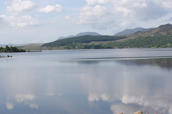 Llyn TrawsfynyddLake or reservoir · 4.0 mi (about 5 to 5.5 mi on foot)
Also nearby
- Pen Llyn a`r Sarnau/ Lleyn Peninsula and the Sarnau
Special Area of Conservation
0.2 mi (about 0.3 mi on foot)
- Coedydd Derw a Safleoedd Ystlumod Meirion/ Meirionnydd Oakwoods and Bat Sites
Special Area of Conservation
0.6 mi (about 0.7 to 0.8 mi on foot)
Walking distances are estimates from the straight-line distance and the type of ground, not a measured route. Check a map before you set off.
About Talsarnau Rail Station
Talsarnau is a village and community in the Ardudwy area of Gwynedd in Wales. Its population was 525 in 2001, and had increased to 550 at the 2011 Census.
Source: Wikipedia, CC BY-SA.
Hills, trails and walks from the platform
Walking distances are estimates from the straight-line distance and the type of ground, not a measured route. Check a map before you set off.
| Clogwyn Gwyn | 113m | 0.6 mi (about 0.8 to 0.9 mi on foot) |
| Cefn-trefor-fawr | 151m | 0.8 mi (about 1 mi on foot) |
| Ynys Gifftan | 38m | 0.8 mi (about 1 mi on foot) |
| Y Garth | 76m | 1.4 mi (about 2 mi on foot) |
| Penmaen | 58m | 1.6 mi (about 2 to 2.5 mi on foot) |
No National Trails within 10 miles.
Route data © OpenStreetMap contributors, ODbL – coverage and route quality vary by area.
| Wales Coast Path (Meirionnydd) ↗Regional | 64.6 mi | 0.2 mi |
| Taith Ardudwy Way ↗Local | 3.6 mi | 1.6 mi |
| Llŷn Coastal Path ↗Regional | 101.2 mi | 2.8 mi |
| Cambrian Way ↗National | 300.1 mi | 3.1 mi |
| Llwybr Llechi Eryri ↗Regional | 84.3 mi | 5.5 mi |