





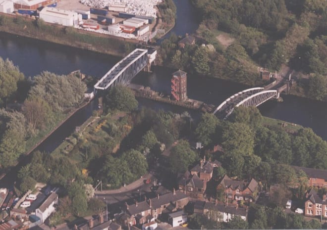
Trafford Park Rail Station
- Canal
- Peaks nearby
- 9
- highest 99m
- Walking routes
- 20
- within 10 miles
What's on the doorstep
Bridgewater Canal (Stretford and Leigh Branch)Canal · 0.1 mi (about 0.2 mi on foot)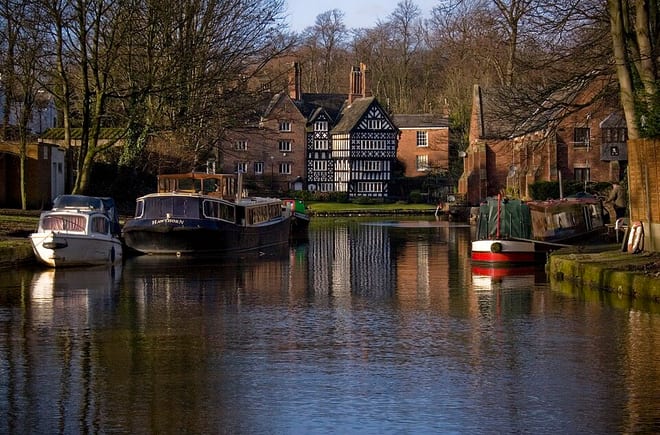 Bridgewater CanalCanal · 0.1 mi (about 0.2 mi on foot)
Walking distances are estimates from the straight-line distance and the type of ground, not a measured route. Check a map before you set off.
About Trafford Park Rail Station
Trafford Park is an area of the metropolitan borough of Trafford, Greater Manchester, England, opposite Salford Quays on the southern side of the Manchester Ship Canal, 3.4 miles (5.5 km) southwest of Manchester city centre and 1.3 miles (2.1 km) north of Stretford. Until the late 19th century it was the ancestral home of the Trafford family, who sold it to the financier Ernest Terah Hooley in 1896. Occupying an area of 4.7 square miles (12 km2), it was the first planned industrial estate in the world, and remained the largest in Europe over a century later.
Hills, trails and walks from the platform
Walking distances are estimates from the straight-line distance and the type of ground, not a measured route. Check a map before you set off.
| St Mary's (Bowdon) | 67m | 5.8 mi (about 7.5 to 8.5 mi on foot) |
| Heaton Park | 110m | 6.3 mi (about 8 to 9 mi on foot) |
| Clarke's Hill | 136m | 6.3 mi (about 8.5 to 9 mi on foot) |
| Newcombe Drive (Greenheys) | 116m | 7.5 mi (about 10 to 11 mi on foot) |
| Greenheys | 115m | 7.7 mi (about 10 to 11 mi on foot) |
No National Trails within 10 miles.
Route data © OpenStreetMap contributors, ODbL – coverage and route quality vary by area.
| GM Ringway Stage 1 ↗Regional | 7.5 mi | 0.1 mi |
| GM Ringway Stage 20 ↗Regional | 8.0 mi | 0.1 mi |
| Cheshire Ring Canal Walk ↗ | 95.3 mi | 0.1 mi |
| GM Ringway Stage 19 ↗Regional | 9.4 mi | 0.7 mi |
| Trans-Pennine Trail (Ashton-upon-Mersey to Stockport) ↗Regional | 12.9 mi | 1.0 mi |