





Watton-at-Stone Rail Station
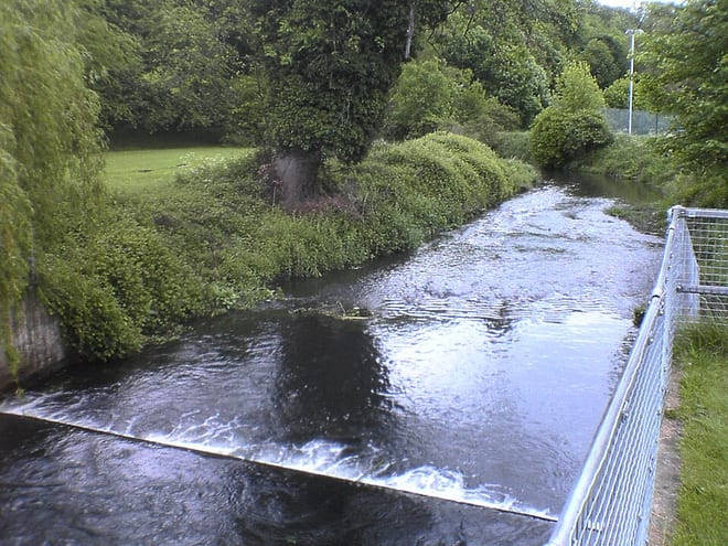
- River
- Peaks nearby
- 1
- highest 126m
- Walking routes
- 20
- within 10 miles
What's on the doorstep
Walking distances are estimates from the straight-line distance and the type of ground, not a measured route. Check a map before you set off.
About Watton-at-Stone Rail Station
Watton-at-Stone is a village and civil parish in the East Hertfordshire district of Hertfordshire, England. It lies 4 miles (6 km) north of Hertford, its post town, and 5 miles (8 km) south-east of the centre of Stevenage. It lies in the valley of the River Beane and is served by Watton-at-Stone railway station. As well as the village itself, the parish also covers surrounding rural areas, including the hamlet of Whempstead and much of the Woodhall Park estate. At the 2021 census, the parish had a population of 2,616.
Hills, trails and walks from the platform
Walking distances are estimates from the straight-line distance and the type of ground, not a measured route. Check a map before you set off.
| Burnham Green | 126m | 2.6 mi (about 3.5 to 4 mi on foot) |
No National Trails within 10 miles.
Route data © OpenStreetMap contributors, ODbL – coverage and route quality vary by area.
| Hertfordshire Chain Walk - Walk 7 ↗Regional | 5.0 mi | 0.2 mi |
| Hertfordshire Chain Walk - Walk 7/8 Link ↗Regional | 0.2 mi | 0.3 mi |
| Hertfordshire Chain Walk - Walk 8 ↗Regional | 6.8 mi | 0.3 mi |
| Hertfordshire Chain Walk - Walk 7/8 Alternate Link ↗Regional | 0.9 mi | 0.4 mi |
| STOOP - Stevenage Outer Orbital Path ↗Local | 27.3 mi | 1.3 mi |