





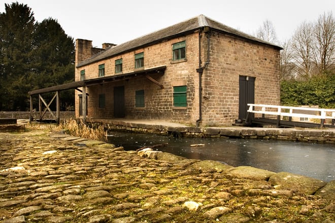
Whatstandwell Rail Station
- Canal
- River
- Disused railway
- Lake or reservoir
- Peaks nearby
- 30
- highest 379m
- Walking routes
- 21
- within 10 miles
What's on the doorstep
Walking distances are estimates from the straight-line distance and the type of ground, not a measured route. Check a map before you set off.
About Whatstandwell Rail Station
Whatstandwell is a village on the River Derwent in the Amber Valley district of Derbyshire, England. It is about five miles south of Matlock and about four miles north of Belper. Whatstandwell railway station is on the Derby–Matlock Derwent Valley line, and the A6 trunk road crosses the River Derwent in the village. Most of the population is included in the civil parish of Crich, and indeed the area to the north of the B5035 has been known as Crich Carr. That name has largely fallen into disuse, with the village of Whatstandwell generally thought to include this area and the area across the Derwent on the road towards Wirksworth and into the parish of Alderwasley.
Hills, trails and walks from the platform
Walking distances are estimates from the straight-line distance and the type of ground, not a measured route. Check a map before you set off.
| Crich Beacon | 286m | 1.0 mi (about 1.5 mi on foot) |
| The Tors | 236m | 1.0 mi (about 1.5 mi on foot) |
| Thorphill | 176m | 1.9 mi (about 2.5 to 3 mi on foot) |
| Alport Height | 315m | 2.4 mi (about 3 to 3.5 mi on foot) |
| BolehillE | 323m | 2.5 mi (about 3.5 mi on foot) |
| Pennine Bridleway ↗ | 206.0 mi | 3.7 mi |
Route data © OpenStreetMap contributors, ODbL – coverage and route quality vary by area.
| Cromford Canal Footpath ↗ | 9.5 mi | 0.0 mi |
| Derwent Valley Heritage Way ↗Regional | 51.9 mi | 0.0 mi |
| Amber Valley Routeway Walk 19 ↗Local | 2.5 mi | 0.2 mi |
| Amber Valley Routeways Walk 12 ↗Local | 3.0 mi | 0.4 mi |
| Midshires Way ↗Regional | 226.7 mi | 0.6 mi |