





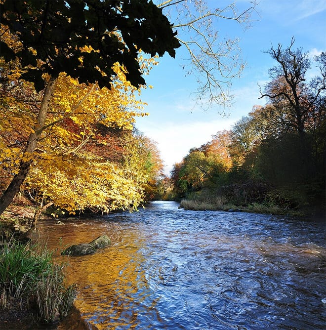
West Calder Rail Station
- River
- Lake or reservoir
- Peaks nearby
- 30
- highest 567m
- Walking routes
- 15
- within 10 miles
What's on the doorstep
Walking distances are estimates from the straight-line distance and the type of ground, not a measured route. Check a map before you set off.
About West Calder Rail Station
West Calder is a village in the council area of West Lothian, Scotland, located four miles west of Livingston. Historically it is within the County of Midlothian. The village was an important centre in the oil shale industry in the 19th and 20th centuries. West Calder has its own railway station.
Source: Wikipedia, CC BY-SA.
Hills, trails and walks from the platform
Walking distances are estimates from the straight-line distance and the type of ground, not a measured route. Check a map before you set off.
| Five Sisters Bing | 231m | 0.9 mi (about 1 to 1.5 mi on foot) |
| Seafield Law | 198m | 2.3 mi (about 3 to 3.5 mi on foot) |
| Dechmont Law | 217m | 4.0 mi (about 5.5 to 6 mi on foot) |
| Hendry's Corse [Hendreys Course] | 361m | 4.5 mi (about 6 to 6.5 mi on foot) |
| Auchinoon Hill | 351m | 4.6 mi (about 6 to 6.5 mi on foot) |
No National Trails within 10 miles.
Route data © OpenStreetMap contributors, ODbL – coverage and route quality vary by area.
| Green Path ↗Local | 0.9 mi | 2.3 mi |
| Red Walk ↗Local | 0.6 mi | 2.4 mi |
| Yellow Walk ↗Local | 0.4 mi | 2.5 mi |
| Cross Borders Drove Road (Harperrig to West Linton) ↗National | 7.6 mi | 5.1 mi |
| Forth & Clyde/Union Canal Towpath ↗National | 63.1 mi | 6.2 mi |