





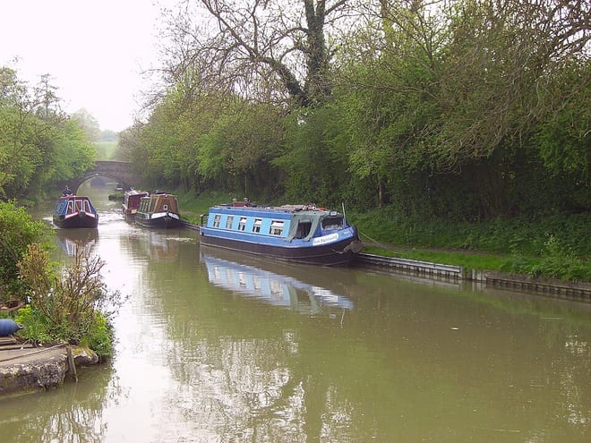
South Wigston Rail Station
- Canal
- Peaks nearby
- 6
- highest 237m
- Walking routes
- 20
- within 10 miles
What's on the doorstep
Walking distances are estimates from the straight-line distance and the type of ground, not a measured route. Check a map before you set off.
About South Wigston Rail Station
South Wigston is a large village to the south of Leicester, England. It is outside the city boundary, forming part of the Oadby and Wigston district of Leicestershire. The population at the 2011 census was 7,490.
Source: Wikipedia, CC BY-SA.
Hills, trails and walks from the platform
Walking distances are estimates from the straight-line distance and the type of ground, not a measured route. Check a map before you set off.
| Croft Hill | 128m | 5.0 mi (about 6.5 to 7 mi on foot) |
| Nether Hall | 110m | 6.0 mi (about 8 to 9 mi on foot) |
| Mowsley Hills | 177m | 6.9 mi (about 9 to 10 mi on foot) |
| Old John Tower | 212m | 8.7 mi (about 11.5 to 12.5 mi on foot) |
| Life Hill | 223m | 9.2 mi (about 12 to 13.5 mi on foot) |
No National Trails within 10 miles.
Route data © OpenStreetMap contributors, ODbL – coverage and route quality vary by area.
| Blaby Village Heritage Trail ↗ | 1.4 mi | 1.1 mi |
| Leicestershire Round ↗Regional | 102.5 mi | 3.7 mi |
| Bridleway V44 ↗ | 2.1 mi | 4.9 mi |
| Bridleway V53 ↗ | 0.4 mi | 6.3 mi |
| Footpath V51 ↗ | 1.2 mi | 6.3 mi |