





Wolverton Rail Station
- Canal
- River
- Peaks nearby
- 3
- highest 171m
- Walking routes
- 20
- within 10 miles
What's on the doorstep
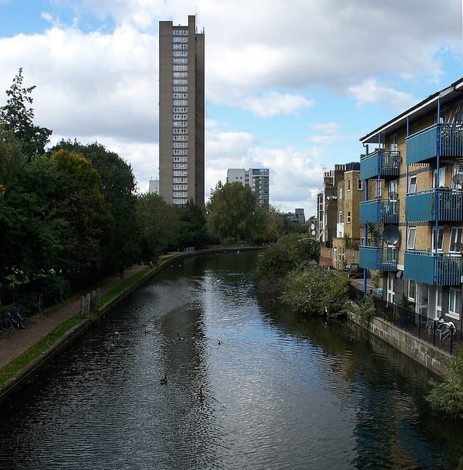
Grand Union CanalCanal · 0.1 mi (about 0.1 mi on foot)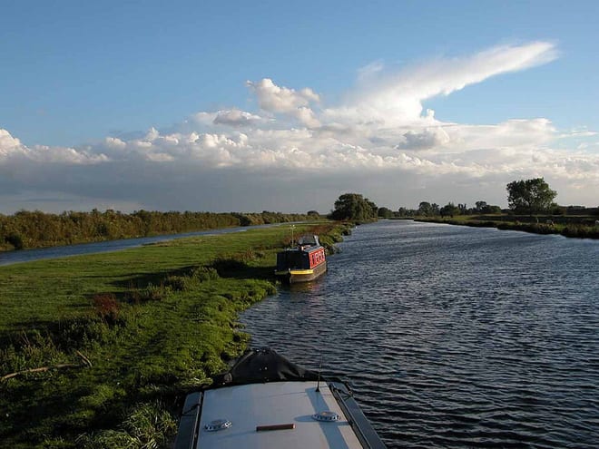 River Great OuseRiver · 0.3 mi (about 0.3 to 0.4 mi on foot)
Walking distances are estimates from the straight-line distance and the type of ground, not a measured route. Check a map before you set off.
About Wolverton Rail Station
Wolverton is a constituent town of Milton Keynes, England. It is located in the north-west of the city, beside the West Coast Main Line, the Grand Union Canal and the river Great Ouse. It is the administrative seat of Wolverton and Greenleys civil parish.
Source: Wikipedia, CC BY-SA.
Hills, trails and walks from the platform
Walking distances are estimates from the straight-line distance and the type of ground, not a measured route. Check a map before you set off.
| Bow Brickhill | 171m | 7.3 mi (about 9.5 to 10.5 mi on foot) |
| Mursley Mound | 161m | 7.8 mi (about 10 to 11.5 mi on foot) |
| Brogborough Hill | 117m | 8.4 mi (about 11 to 12 mi on foot) |
No National Trails within 10 miles.
Route data © OpenStreetMap contributors, ODbL – coverage and route quality vary by area.
| Grand Union Canal Walk ↗Regional | 83.4 mi | 0.1 mi |
| Ouse Valley Way 1 (Syresham to Turvey) ↗Regional | 39.3 mi | 0.1 mi |
| Midshires Way ↗Regional | 226.7 mi | 0.6 mi |
| North Bucks Way ↗Regional | 34.4 mi | 0.7 mi |
| Grafton Way ↗Regional | 13.3 mi | 0.8 mi |