





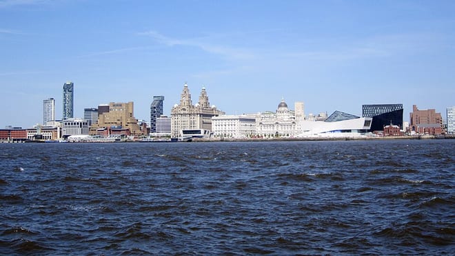
Warrington Central Rail Station
- River
- Peaks nearby
- 11
- highest 97m
- Walking routes
- 20
- within 10 miles
What's on the doorstep
Walking distances are estimates from the straight-line distance and the type of ground, not a measured route. Check a map before you set off.
About Warrington Central Rail Station
Warrington Central is one of three main railway stations serving the town of Warrington in Cheshire, England. It is located on the southern route of the Liverpool to Manchester Lines, the former Cheshire Lines Committee route between Liverpool and Manchester; the station is situated approximately halfway between the two cities.
Source: Wikipedia, CC BY-SA.
Hills, trails and walks from the platform
Walking distances are estimates from the straight-line distance and the type of ground, not a measured route. Check a map before you set off.
| Appleton Park | 101m | 2.7 mi (about 3.5 to 4 mi on foot) |
| Butchersfield | 44m | 4.4 mi (about 5.5 to 6.5 mi on foot) |
| Halton Castle | 100m | 5.9 mi (about 7.5 to 8.5 mi on foot) |
| Hutchinson's Hill | 43m | 7.2 mi (about 9.5 to 10.5 mi on foot) |
| Beacon Hill | 156m | 9.1 mi (about 12 to 13 mi on foot) |
No National Trails within 10 miles.
Route data © OpenStreetMap contributors, ODbL – coverage and route quality vary by area.
| Mersey Way ↗Local | 24.4 mi | 0.4 mi |
| Trans-Pennine Trail (Liverpool to Warrington) ↗Regional | 26.5 mi | 1.2 mi |
| New Cut Trail ↗Local | 1.7 mi | 1.3 mi |
| Trans-Pennine Trail (Warrington to Ashton-upon-Mersey) ↗Regional | 12.2 mi | 1.3 mi |
| Cheshire Ring Canal Walk ↗ | 95.3 mi | 1.7 mi |