






Great Yarmouth Rail Station
- National Park
- River
- Peaks nearby
- 1
- highest 34m
- Walking routes
- 20
- within 10 miles
What's on the doorstep
The BroadsNational Park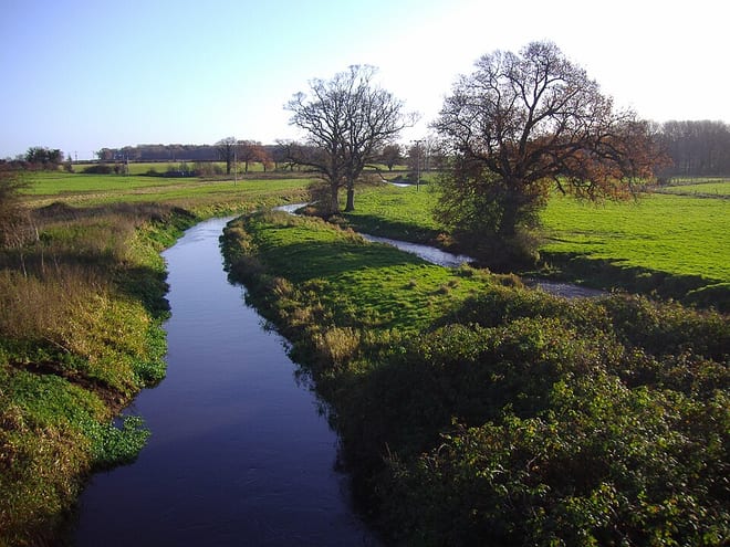 River BureRiver · 0.1 mi (about 0.1 mi on foot)
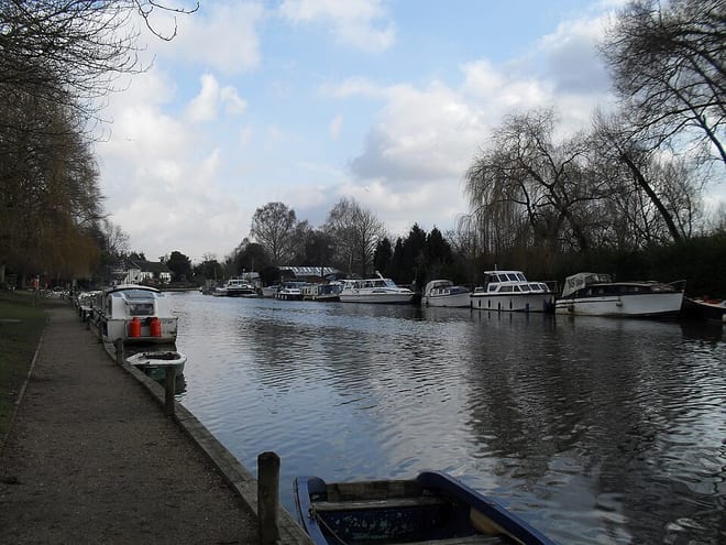 River YareRiver · 0.2 mi (about 0.2 mi on foot)
Walking distances are estimates from the straight-line distance and the type of ground, not a measured route. Check a map before you set off.
About Great Yarmouth Rail Station
Great Yarmouth, often called Yarmouth, is a seaside town which gives its name to the wider Borough of Great Yarmouth in Norfolk, England; it straddles the River Yare and is located 20 miles (32 km) east of Norwich. Its fishing industry, mainly for herring, shrank after the mid-20th century and has all but ended. North Sea oil from the 1960s supplied an oil rig industry that services offshore natural gas rigs; more recently, offshore wind power and other renewable energy industries have ensued. In 2021 the built up area had a population of 28,985.
Hills, trails and walks from the platform
Walking distances are estimates from the straight-line distance and the type of ground, not a measured route. Check a map before you set off.
| Normanston Hill | 34m | 8.6 mi (about 11 to 12.5 mi on foot) |
No National Trails within 10 miles.
Route data © OpenStreetMap contributors, ODbL – coverage and route quality vary by area.
| Wherry Lines Walk 9 ↗Local | 5.6 mi | 0.0 mi |
| Wherryman's Way ↗Regional | 40.2 mi | 0.0 mi |
| Weavers’ Way ↗Regional | 61.5 mi | 0.0 mi |
| Cross-Norfolk Trail ↗ | 96.5 mi | 0.0 mi |
| Angles Way ↗Regional | 92.8 mi | 0.0 mi |