





Yate Rail Station
- River
- National Trail
- Peaks nearby
- 15
- highest 99m
- Walking routes
- 21
- within 10 miles
What's on the doorstep
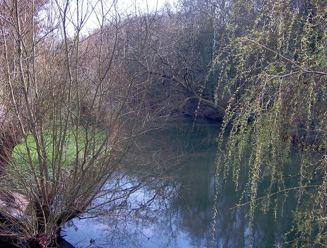
River Frome (South Gloucestershire)River · 0.3 mi (about 0.4 mi on foot) Cotswold WayNational Trail · 3.3 mi (about 4 to 4.5 mi on foot)
Walking distances are estimates from the straight-line distance and the type of ground, not a measured route. Check a map before you set off.
About Yate Rail Station
Yate is a town and civil parish in South Gloucestershire, England. It lies just to the southwest of the Cotswold Hills and is 12 miles northeast of Bristol and 12 miles from Bath.
Source: Wikipedia, CC BY-SA.
Hills, trails and walks from the platform
Walking distances are estimates from the straight-line distance and the type of ground, not a measured route. Check a map before you set off.
| Widdenhill | 205m | 4.5 mi (about 6 to 6.5 mi on foot) |
| Abbey Hill | 109m | 5.1 mi (about 6.5 to 7.5 mi on foot) |
| Milbury Heath | 109m | 5.2 mi (about 6.5 to 7.5 mi on foot) |
| Hopewell Hill | 116m | 6.0 mi (about 8 to 8.5 mi on foot) |
| Tog Hill | 221m | 6.5 mi (about 8.5 to 9.5 mi on foot) |
| Cotswold Way ↗ | 106.3 mi | 3.3 mi |
Route data © OpenStreetMap contributors, ODbL – coverage and route quality vary by area.
| Frome Valley Walkway ↗Local | 19.3 mi | 0.3 mi |
| Jubilee Way (South Gloucestershire) ↗Local | 17.6 mi | 1.4 mi |
| The Dramway ↗Local | 9.4 mi | 1.8 mi |
| Monarch's Way ↗Regional | 573.3 mi | 2.1 mi |
| Community Forest Path ↗Local | 46.5 mi | 2.3 mi |