





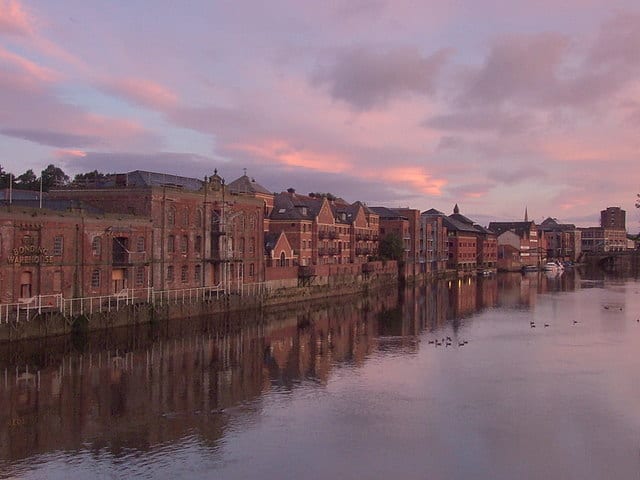
York Rail Station
- River
- Peaks nearby
- 2
- highest 50m
- Walking routes
- 15
- within 10 miles
What's on the doorstep
Walking distances are estimates from the straight-line distance and the type of ground, not a measured route. Check a map before you set off.
About York Rail Station
York is a cathedral city in North Yorkshire, England, with Roman origins, sited at the confluence of the rivers Ouse and Foss. It has many historic buildings and other structures, including the minster, castle and city walls, all of which are Grade I listed. It is the traditional county town of Yorkshire, and the administrative centre of the City of York district. It is located 27 miles (43 km) north-east of Leeds, 90 miles (140 km) south of Newcastle upon Tyne and 207 miles (333 km) north of London. York's built-up area had a recorded population of 141,685 at the 2021 census.
Hills, trails and walks from the platform
Walking distances are estimates from the straight-line distance and the type of ground, not a measured route. Check a map before you set off.
| Stock Hill | 44m | 4.2 mi (about 5.5 to 6 mi on foot) |
| Bilbrough Hill | 50m | 5.2 mi (about 7 to 7.5 mi on foot) |
No National Trails within 10 miles.
Route data © OpenStreetMap contributors, ODbL – coverage and route quality vary by area.
| Ebor Way ↗Regional | 76.3 mi | 0.1 mi |
| Millennium Way ↗Local | 23.8 mi | 0.1 mi |
| Trans-Pennine Trail (Selby to York) ↗Regional | 15.1 mi | 0.1 mi |
| Wilberforce Way ↗Regional | 58.0 mi | 0.2 mi |
| Minster Way ↗Regional | 52.4 mi | 0.4 mi |