





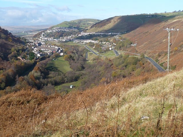
Ystrad Mynach Rail Station
- River
- Disused railway
- Peaks nearby
- 30
- highest 477m
- Walking routes
- 8
- within 10 miles
What's on the doorstep
Walking distances are estimates from the straight-line distance and the type of ground, not a measured route. Check a map before you set off.
About Ystrad Mynach Rail Station
Ystrad Mynach is a town in the Rhymney Valley in the Caerphilly County Borough, within the ancient county of Glamorgan, Wales, and is 5 miles (8.0 km) north of the town of Caerphilly. The urban area had a population of 19,204 in 2011. Before the Industrial Revolution and the coming of coal mining in the South Wales Coalfield the valley was rural and farmed. It lies in the community of Gelligaer.
Hills, trails and walks from the platform
Walking distances are estimates from the straight-line distance and the type of ground, not a measured route. Check a map before you set off.
| Mynydd Eglwysilan | 355m | 1.6 mi (about 2 to 2.5 mi on foot) |
| Mynydd Dimlaith | 223m | 2.5 mi (about 3.5 mi on foot) |
| Mynydd y GrugM | 374m | 3.2 mi (about 4 to 4.5 mi on foot) |
| Craig-Evan-Leyshon Common | 255m | 3.3 mi (about 4 to 4.5 mi on foot) |
| Parc Coetir Bargoed | 216m | 3.3 mi (about 4.5 to 5 mi on foot) |
No National Trails within 10 miles.
Route data © OpenStreetMap contributors, ODbL – coverage and route quality vary by area.
| Rhymney Valley Ridgeway Walk ↗Regional | 28.0 mi | 0.3 mi |
| Taff Trail ↗Regional | 63.0 mi | 3.1 mi |
| Pontypridd Circular ↗Local | 9.6 mi | 3.5 mi |
| Forge Walk ↗Local | 2.9 mi | 5.0 mi |
| Cambrian Way ↗National | 300.1 mi | 5.1 mi |